Transport Functions
Multimodal
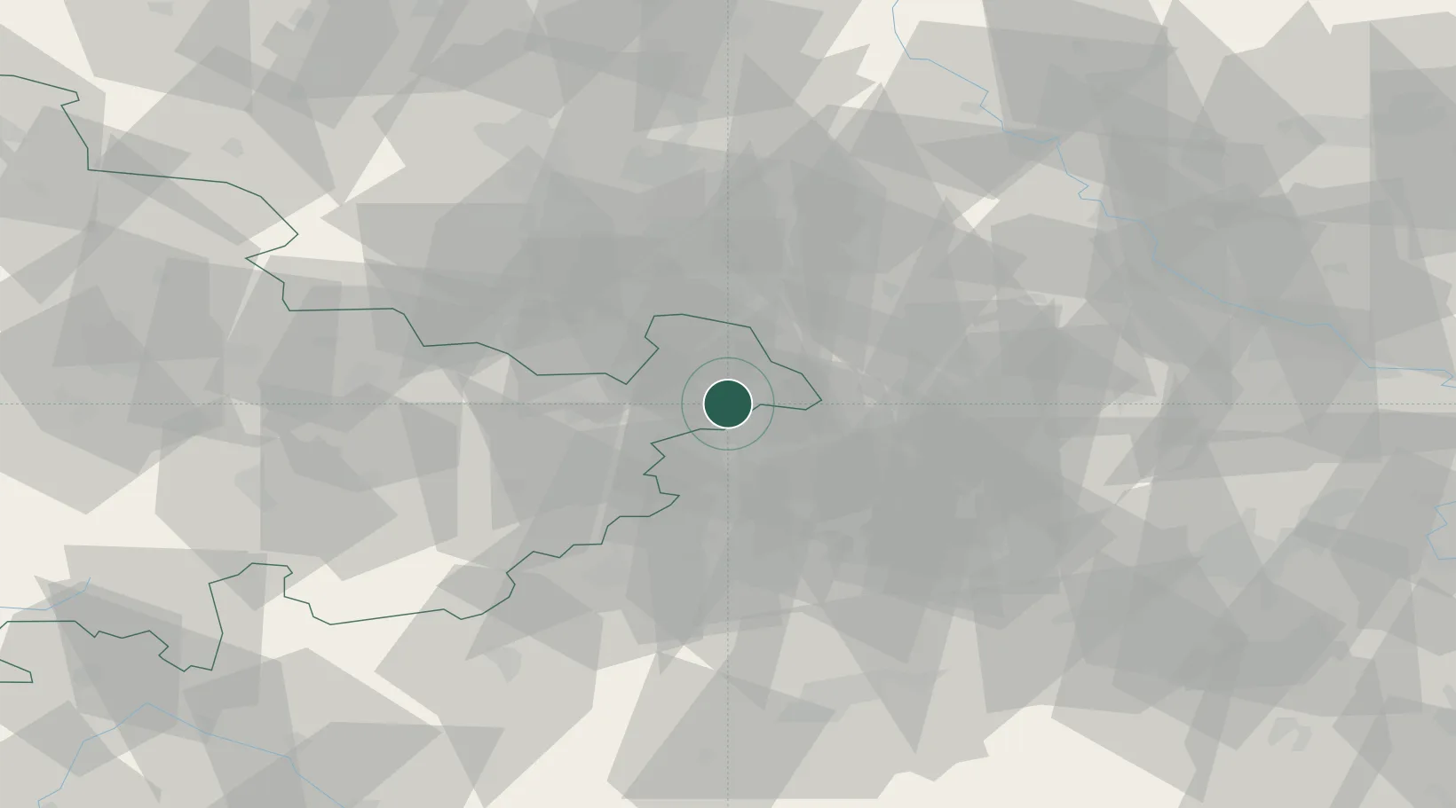
Hub Profile
Region
TH
Location
Nearby Logistics Neighbours
Airports
- 1Leipzig–Altenburg Airport12 km
- 2Leipzig/Halle Airport61 km
- 3Hof-Plauen Airport78 km
- 4Karlovy Vary Airport83 km
- 5Dresden Airport97 km
Trade Zones
DatabookThe Record of Consolidated Knowledge
Germany beyond logistics?