Transport Functions
Rail
Road
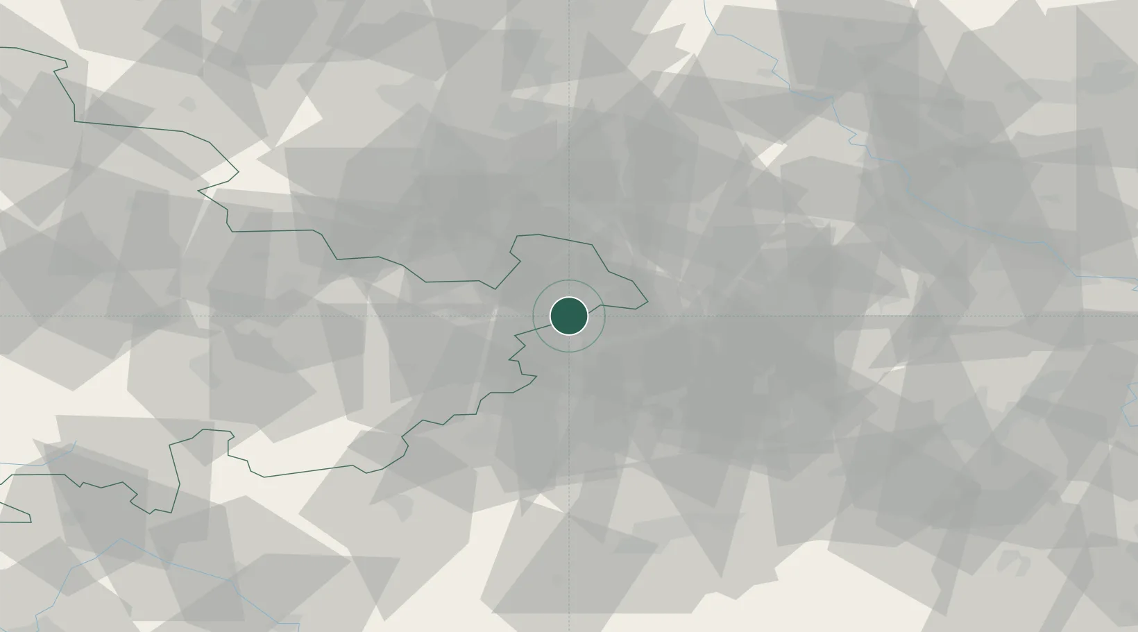
Hub Profile
Place type
Local administrative seat
Region
Thuringia
Population
1,808
Time zone
Europe/Berlin
Elevation
220 m
Location
Nearby Logistics Neighbours
Cities
- 1Gössnitz4 km
- 2Schmölln7 km
- 3Glauchau10 km
- 4Nöbdenitz10 km
- 5Crossen (Zwickauer Land)10 km
Airports
- 1Leipzig–Altenburg Airport16 km
- 2Leipzig/Halle Airport65 km
- 3Hof-Plauen Airport74 km
- 4Karlovy Vary Airport80 km
- 5Dresden Airport100 km
Trade Zones
DatabookThe Record of Consolidated Knowledge
Germany beyond logistics?