UN/LOCODE hub · Germany
DEBDL

Basdahl

53.4500°, 9.0000°
1,539
Population
1
Transport functions

Transport Functions

Multimodal
UN/LOCODE

Hub Profile

Place type
Local administrative seat
GeoNames
Region
Lower Saxony
GeoNames
Population
1,539
GeoNames
Time zone
Europe/Berlin
GeoNames
Elevation
24 m
GeoNames

Location

Location of DEBDL
Natural Earth 10m (public domain) · Lower Saxony · DEBDL · 53.45, 9.00GoogleOSMYandex

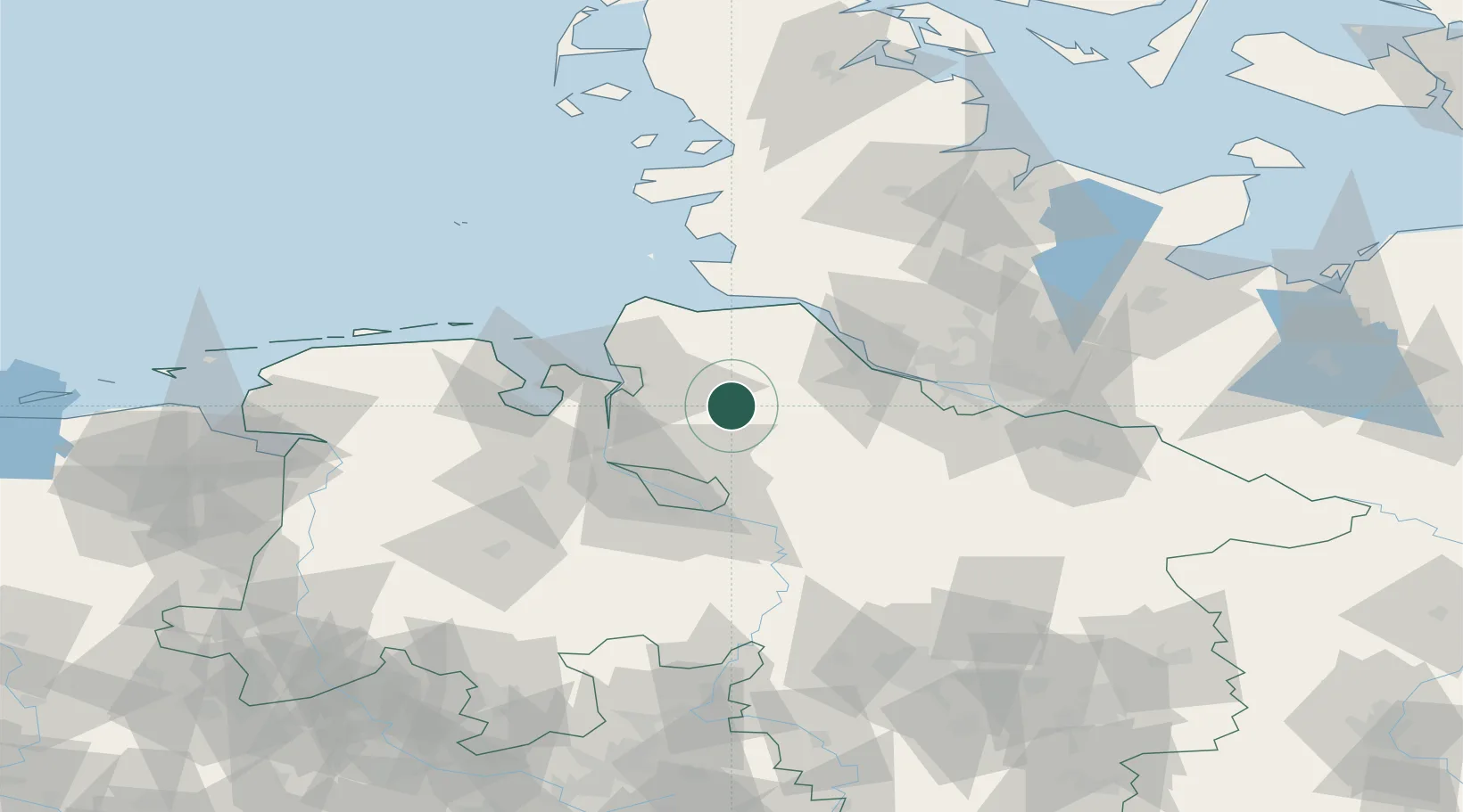
Nearby Logistics Neighbours

Cities
  1. 1Gnarrenburg7 km
  2. 2Glinde8 km
  3. 3Bremervörde10 km
  4. 4Vollersode14 km
  5. 5Bokel17 km
Nearest neighbours — logibook spatial index (haversine) over the source coordinates
Ports
  1. 1Bremerhaven29 km
  2. 2Nordenham34 km
  3. 3Brake37 km
  4. 4Bremen39 km
  5. 5Neuhaus39 km
Nearest neighbours — logibook spatial index (haversine) over the source coordinates
Airports
  1. 1Sea-Airport Cuxhaven/Nordholz / Nordholz Naval Airbase42 km
  2. 2Bremen Airport47 km
  3. 3Uetersen-Heist Airfield51 km
  4. 4Hamburg-Finkenwerder Airport56 km
  5. 5Hamburg Helmut Schmidt Airport68 km
Nearest neighbours — logibook spatial index (haversine) over the source coordinates
Trade Zones
  1. 1Freeport of Bremerhaven (Freihafen Bremerhaven)43 km
  2. 2Freeport of Cuxhaven (Freihafen Cuxhaven)51 km
  3. 3Freeport of Emden121 km
  4. 4Freeport of Kiel125 km
  5. 5Freeport of Duisburg276 km
Nearest neighbours — logibook spatial index (haversine) over the source coordinates
DatabookThe Record of Consolidated Knowledge
Germany beyond logistics?
Browse databook

All Sources

LocationsUN/LOCODE
UN/LOCODE — free
LocationsGeoNames
CC BY 4.0
Portsthe NGA World Port Index
Public domain (US gov)
AirportsOurAirports
Public domain
Trade Zonesthe World Bank SEZ database
CC BY 4.0
Trade ZonesOpen Zone Map
CC BY
← Germany locations