Transport Functions
Rail
Road
Hub Profile
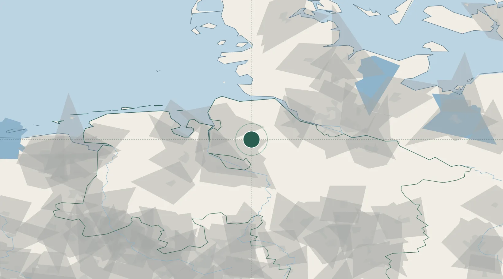
Place type
Local administrative seat
Region
Lower Saxony
Population
9,504
Time zone
Europe/Berlin
Elevation
13 m
Location
Nearby Logistics Neighbours
Cities
- 1Basdahl7 km
- 2Vollersode8 km
- 3Glinde14 km
- 4Bremervörde14 km
- 5Bokel16 km
Ports
- 1Bremen32 km
- 2Bremerhaven32 km
- 3Brake35 km
- 4Nordenham36 km
- 5Elsfleth39 km
Airports
Trade Zones
DatabookThe Record of Consolidated Knowledge
Germany beyond logistics?