Transport Functions
Multimodal
Hub Profile
Place type
Local administrative seat
Region
Bavaria
Population
1,806
Time zone
Europe/Berlin
Elevation
535 m
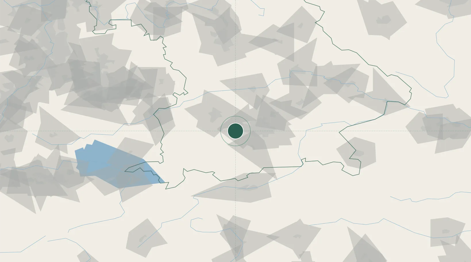
Location
Nearby Logistics Neighbours
Cities
- 1Grafrath3 km
- 2Wörthsee6 km
- 3Inning am Ammersee7 km
- 4Mammendorf8 km
- 5Türkenfeld9 km
Ports
- 1Nogaro303 km
- 2Grado314 km
- 3Porto Di Lido-Venezia316 km
- 4Monfalcone316 km
- 5Porto Di Chioggia333 km
Airports
- 1Oberpfaffenhofen Airport9 km
- 2Altstetten Ultralight Field20 km
- 3Lechfeld Air Base26 km
- 4Augsburg Airport38 km
- 5Munich Airport50 km
Trade Zones
- 1Freeport of Deggendorf149 km
- 2Livigno Free Trade Zone196 km
- 3ZFU Neuhof258 km
- 4ZFU Hautepierre264 km
- 5Podbořany Industrial Zone283 km
DatabookThe Record of Consolidated Knowledge
Germany beyond logistics?