Transport Functions
Port
Multimodal
Hub Profile
Place type
Local administrative seat
Region
Saxony
Population
3,638
Time zone
Europe/Berlin
Elevation
315 m
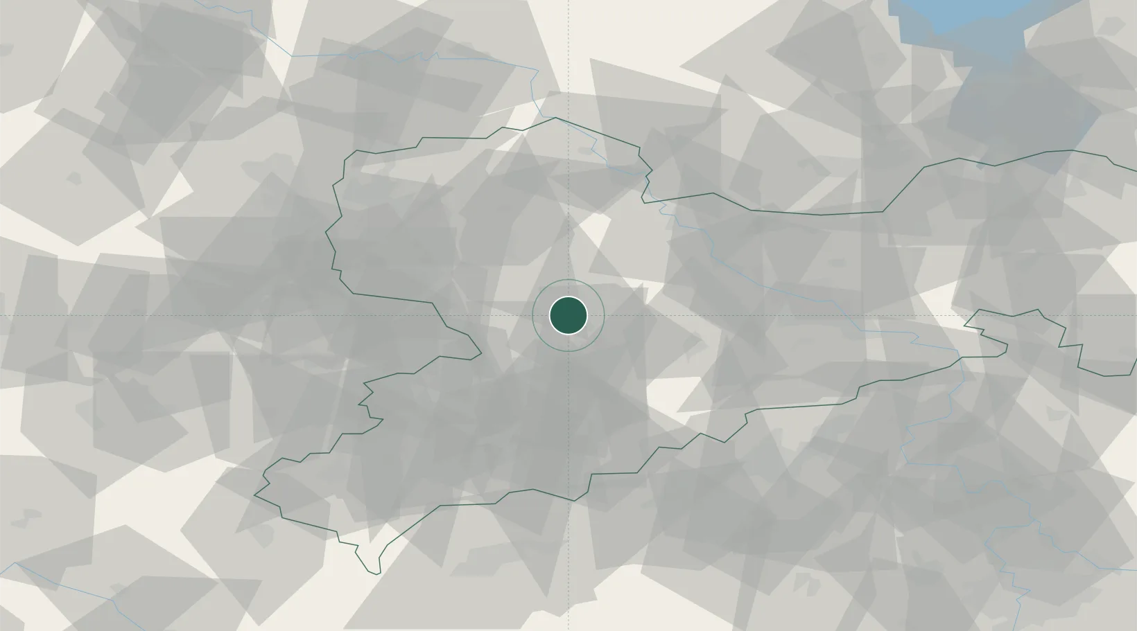
Location
Nearby Logistics Neighbours
Cities
- 1Gebersbach12 km
- 2Auerswalde13 km
- 3Colditz14 km
- 4Burgstädt14 km
- 5Ramlösa15 km
Ports
- 1Szczecin289 km
- 2Police305 km
- 3Swinoujscie335 km
- 4Wismar336 km
- 5Wolgast342 km
Airports
- 1Leipzig–Altenburg Airport30 km
- 2Dresden Airport60 km
- 3Leipzig/Halle Airport66 km
- 4Holzdorf Air Base85 km
- 5Karlovy Vary Airport91 km
Trade Zones
DatabookThe Record of Consolidated Knowledge
Germany beyond logistics?