Transport Functions
Rail
Road
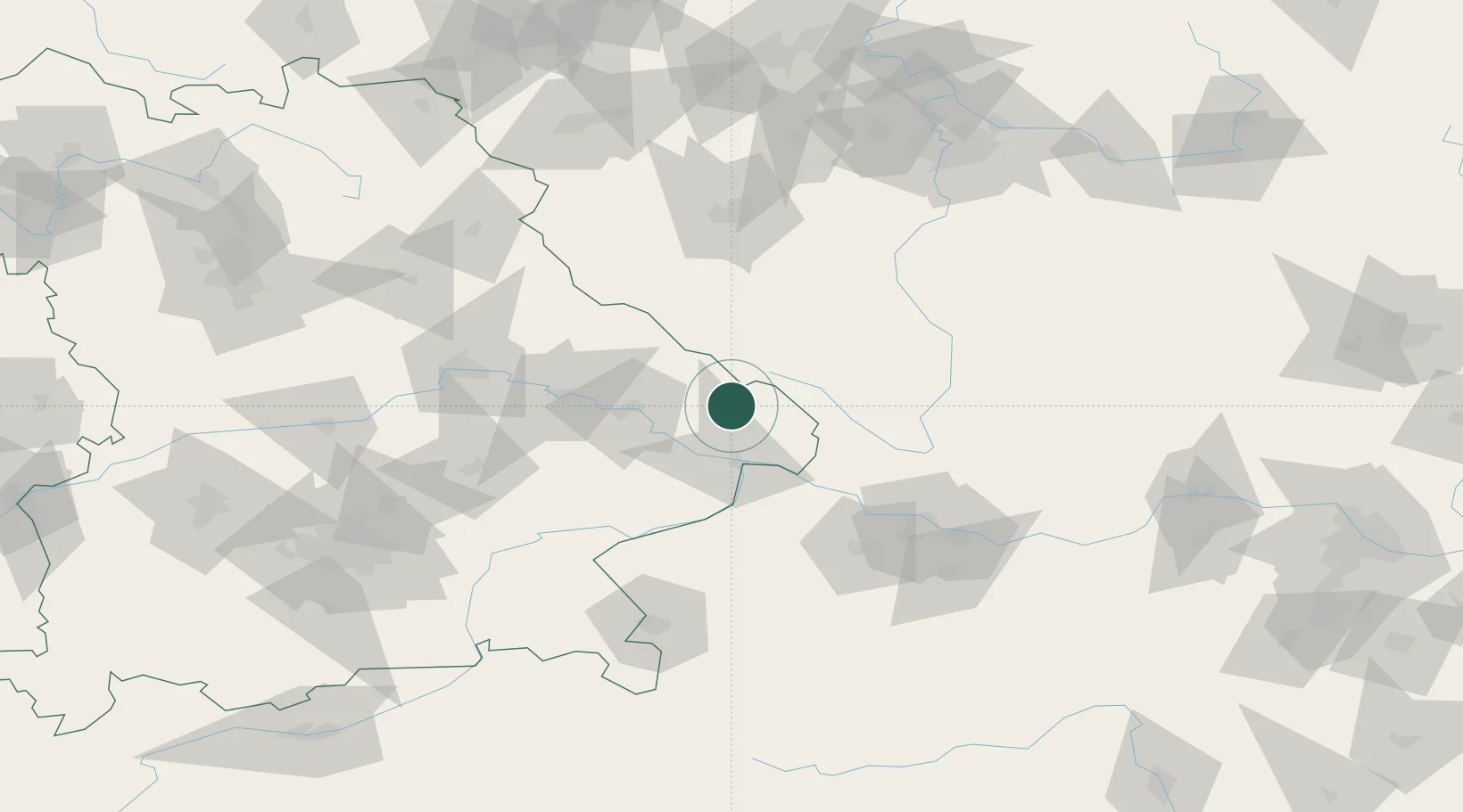
Hub Profile
Place type
Populated place
Region
Bavaria
Population
8,870
Time zone
Europe/Berlin
Elevation
604 m
Location
Nearby Logistics Neighbours
Cities
- 1Riedlhütte7 km
- 2Freyung12 km
- 3Röhrnbach16 km
- 4Frauenau17 km
- 5Falkenstein20 km
Ports
- 1Monfalcone341 km
- 2Nogaro344 km
- 3Grado351 km
- 4Trieste357 km
- 5Muggia362 km
Airports
- 1České Budějovice South Bohemian Airport76 km
- 2Linz-Hörsching Airport90 km
- 3Plzeň-Líně Airport92 km
- 4Landshut Airfield107 km
- 5Hohenfels Army Airfield121 km
Trade Zones
DatabookThe Record of Consolidated Knowledge
Germany beyond logistics?