Transport Functions
Road
Multimodal
Hub Profile
Region
SN
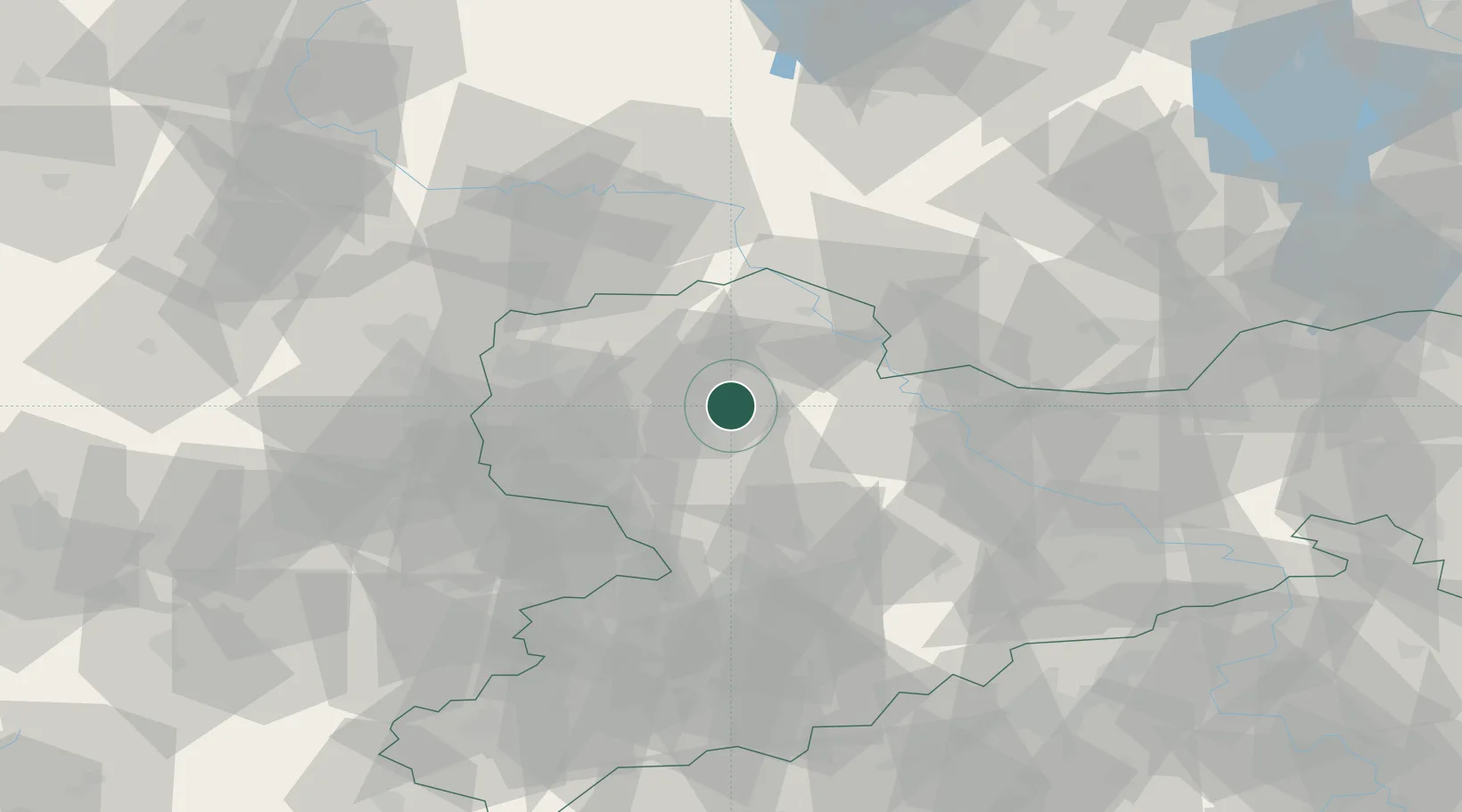
Location
Nearby Logistics Neighbours
Ports
- 1Szczecin262 km
- 2Police277 km
- 3Wismar301 km
- 4Swinoujscie306 km
- 5Wolgast311 km
Airports
- 1Leipzig/Halle Airport41 km
- 2Leipzig–Altenburg Airport43 km
- 3Holzdorf Air Base56 km
- 4Dresden Airport70 km
- 5Zerbst Airfield88 km
Trade Zones
DatabookThe Record of Consolidated Knowledge
Germany beyond logistics?