Transport Functions
Multimodal
Hub Profile
Place type
Local administrative seat
Region
Lower Saxony
Population
1,323
Time zone
Europe/Berlin
Elevation
181 m
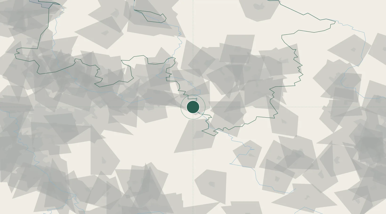
Location
Nearby Logistics Neighbours
Cities
- 1Boffzen2 km
- 2Holzminden10 km
- 3Bad Karlshafen12 km
- 4Borgentreich21 km
- 5Stadtoldendorf23 km
Airports
- 1Kassel Airport35 km
- 2Paderborn Lippstadt Airport56 km
- 3Bielefeld Airport64 km
- 4Bückeburg Air Base64 km
- 5Fritzlar Army Airfield69 km
Trade Zones
DatabookThe Record of Consolidated Knowledge
Germany beyond logistics?