Transport Functions
Port
Rail
Road
Hub Profile
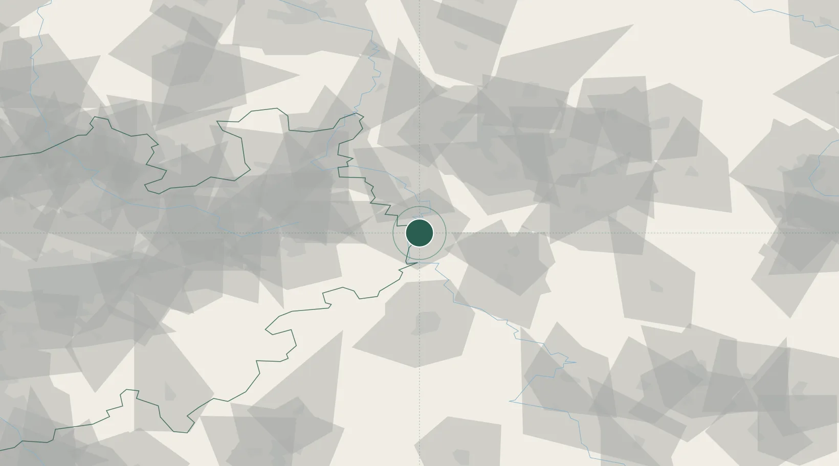
Place type
District seat
Region
Lower Saxony
Population
20,998
Time zone
Europe/Berlin
Elevation
91 m
Location
Nearby Logistics Neighbours
Cities
- 1Boffzen9 km
- 2Fürstenberg10 km
- 3Stadtoldendorf15 km
- 4Hehlen19 km
- 5Bad Karlshafen20 km
Airports
- 1Kassel Airport45 km
- 2Bückeburg Air Base57 km
- 3Paderborn Lippstadt Airport62 km
- 4Bielefeld Airport64 km
- 5Wunstorf Air Base71 km
Trade Zones
DatabookThe Record of Consolidated Knowledge
Germany beyond logistics?