Transport Functions
Road
Multimodal
Hub Profile
Place type
Local administrative seat
Region
Baden-Wurttemberg
Population
2,346
Time zone
Europe/Berlin
Elevation
586 m
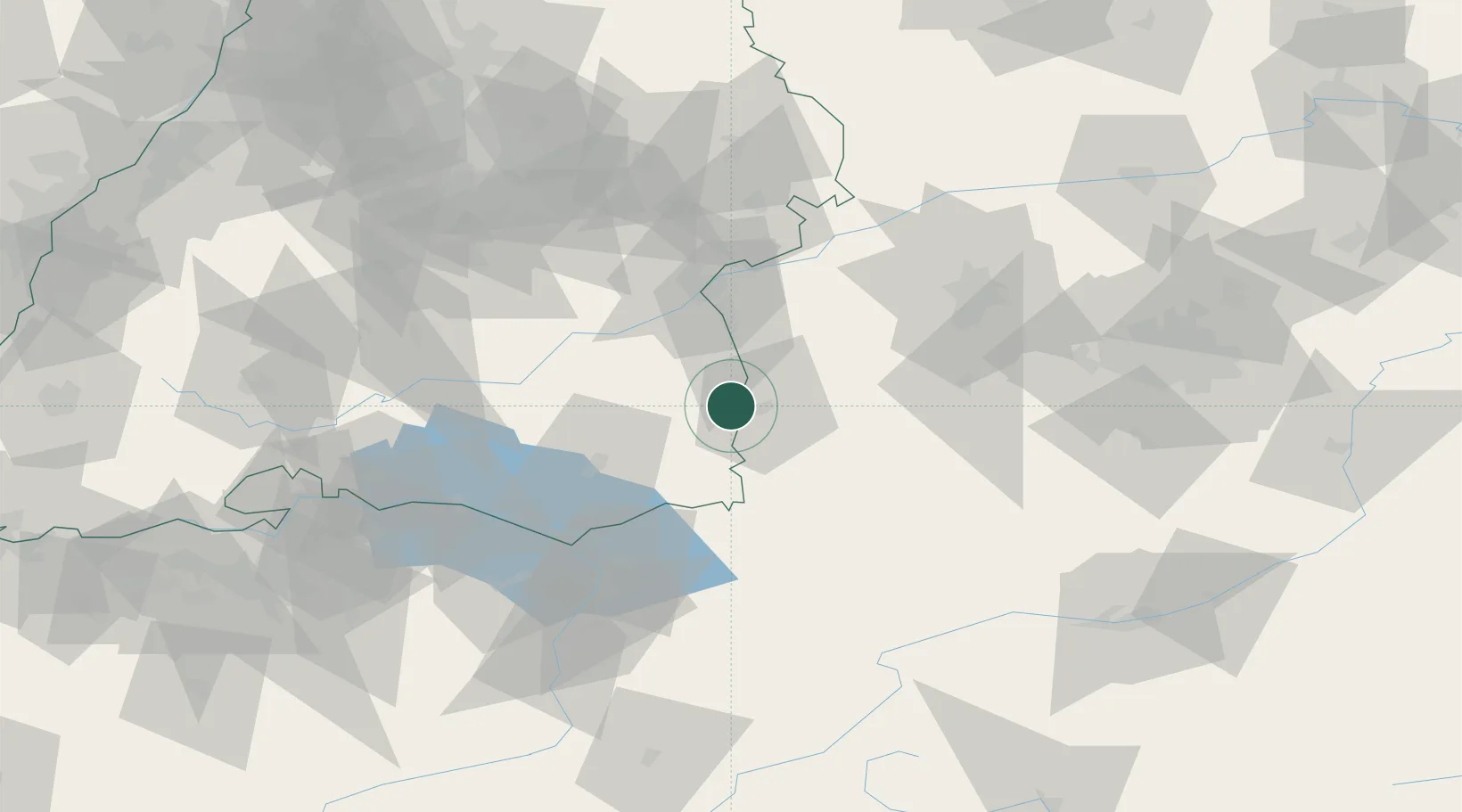
Location
Nearby Logistics Neighbours
Cities
- 1Rot an der Rot5 km
- 2Aitrach6 km
- 3Oberopfingen6 km
- 4Unteropfingen8 km
- 5Fellheim9 km
Ports
- 1Porto Di Lido-Venezia339 km
- 2Nogaro342 km
- 3Porto Di Chioggia351 km
- 4Grado354 km
- 5Monfalcone361 km
Airports
- 1Memmingen Allgau Airport12 km
- 2Laupheim Air Base28 km
- 3Mengen-Hohentengen Airfield53 km
- 4Bodensee Airport Friedrichshafen56 km
- 5Lechfeld Air Base61 km
Trade Zones
- 1Livigno Free Trade Zone163 km
- 2ZFU Neuhof182 km
- 3ZFU Hautepierre189 km
- 4ZFU Mulhouse207 km
- 5Freeport of Deggendorf229 km
DatabookThe Record of Consolidated Knowledge
Germany beyond logistics?