Transport Functions
Rail
Road
Hub Profile
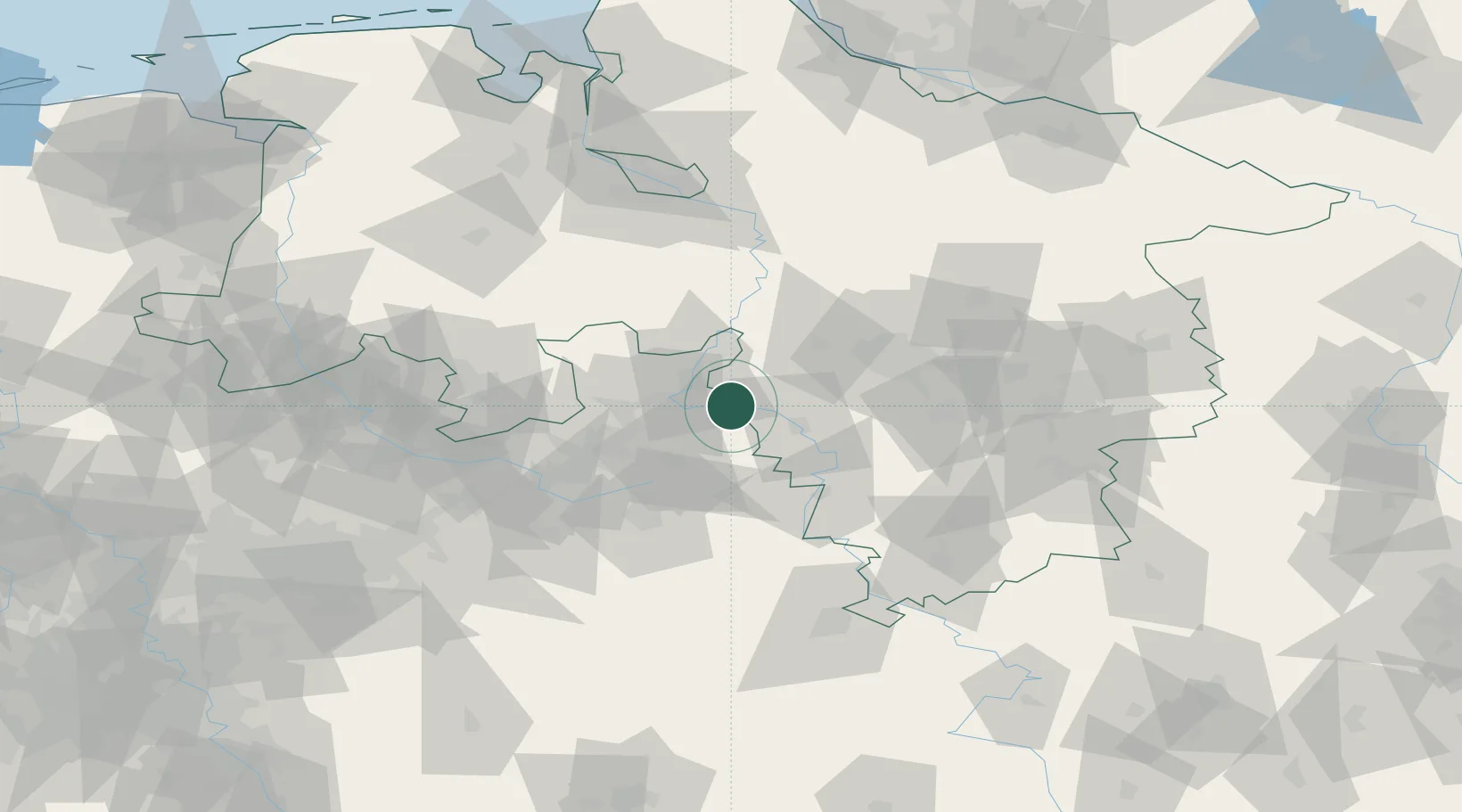
Place type
Populated place
Region
Lower Saxony
Population
25,626
Time zone
Europe/Berlin
Elevation
60 m
Location
Nearby Logistics Neighbours
Cities
- 1Luhden6 km
- 2Bückeburg10 km
- 3Extertal13 km
- 4Berenbusch14 km
- 5Nienstädt14 km
Airports
- 1Bückeburg Air Base11 km
- 2Wunstorf Air Base38 km
- 3Bielefeld Airport44 km
- 4Hannover Airport51 km
- 5Diepholz Air Base67 km
Trade Zones
DatabookThe Record of Consolidated Knowledge
Germany beyond logistics?