Transport Functions
Multimodal
Hub Profile
Place type
Local administrative seat
Region
Lower Saxony
Population
1,138
Time zone
Europe/Berlin
Elevation
110 m
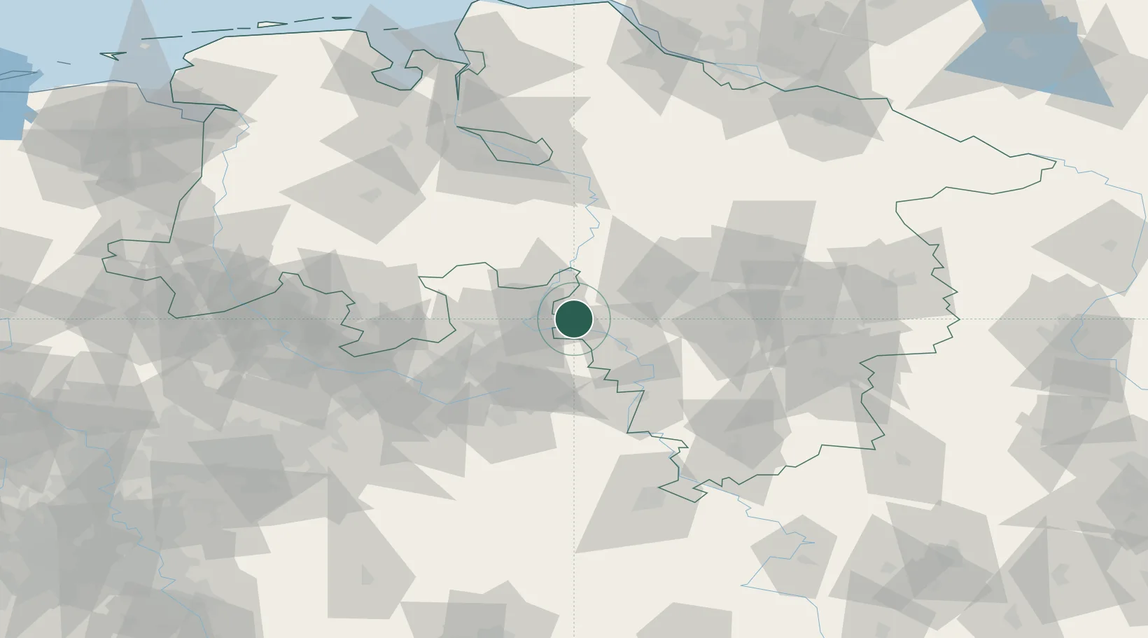
Location
Nearby Logistics Neighbours
Cities
- 1Rinteln6 km
- 2Bückeburg6 km
- 3Nienstädt9 km
- 4Rusbend10 km
- 5Berenbusch10 km
Airports
- 1Bückeburg Air Base5 km
- 2Wunstorf Air Base33 km
- 3Hannover Airport47 km
- 4Bielefeld Airport48 km
- 5Diepholz Air Base65 km
Trade Zones
DatabookThe Record of Consolidated Knowledge
Germany beyond logistics?