Transport Functions
Port
Rail
Road
Hub Profile
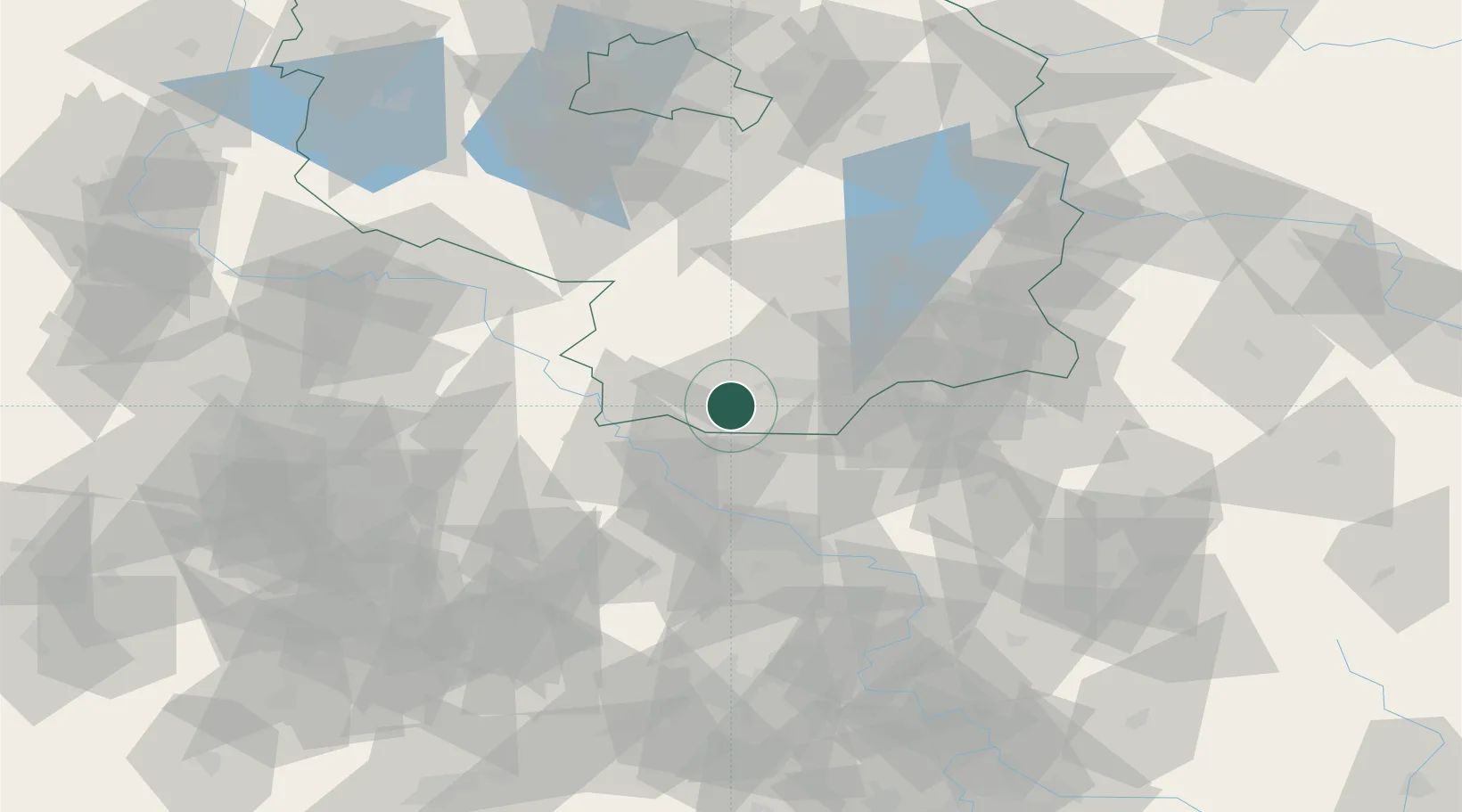
Place type
Local administrative seat
Region
Brandenburg
Population
3,283
Time zone
Europe/Berlin
Elevation
100 m
Location
Nearby Logistics Neighbours
Cities
- 1Elsterwerda8 km
- 2Gröditz12 km
- 3Lauchhammer14 km
- 4Ortrand15 km
- 5Oschätzchen16 km
Ports
- 1Szczecin228 km
- 2Police244 km
- 3Swinoujscie278 km
- 4Wolgast289 km
- 5Wismar309 km
Airports
- 1Dresden Airport37 km
- 2Holzdorf Air Base47 km
- 3Rothenburg/Görlitz Airfield93 km
- 4Leipzig–Altenburg Airport93 km
- 5Leipzig/Halle Airport96 km
Trade Zones
DatabookThe Record of Consolidated Knowledge
Germany beyond logistics?