UN/LOCODE hub · Germany
DEMAA

Mittenaar

50.7000°, 8.3833°
5,020
Population
1
Transport functions

Transport Functions

Multimodal
UN/LOCODE

Hub Profile

Place type
Local administrative seat
GeoNames
Region
Hesse
GeoNames
Population
5,020
GeoNames
Time zone
Europe/Berlin
GeoNames
Elevation
324 m
GeoNames

Location

Location of DEMAA
Natural Earth 10m (public domain) · Hesse · DEMAA · 50.70, 8.38GoogleOSMYandex

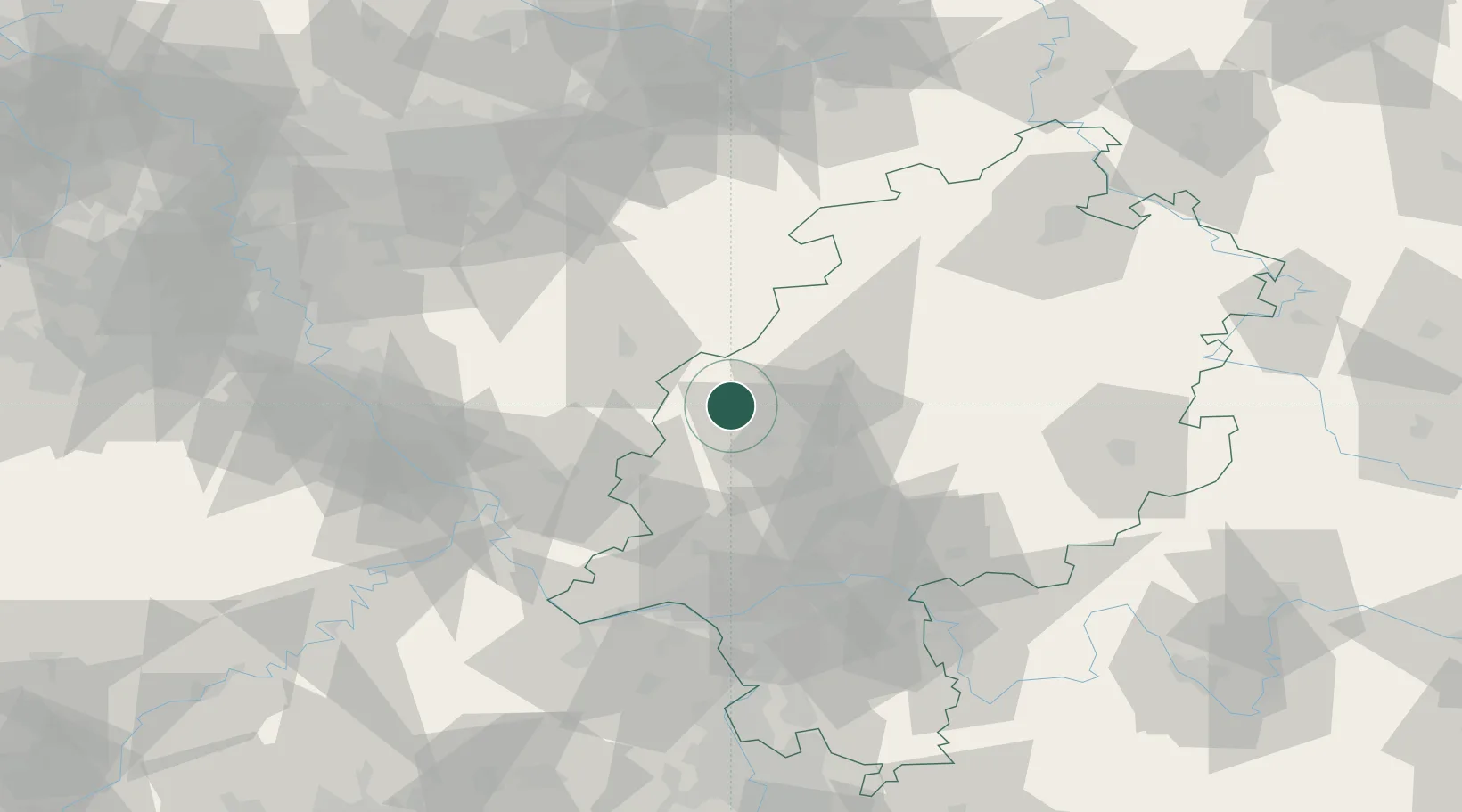
Nearby Logistics Neighbours

Cities
  1. 1Bischoffen0 km
  2. 2Sinn7 km
  3. 3Fleisbach7 km
  4. 4Asslar13 km
  5. 5Eschenburg13 km
Nearest neighbours — logibook spatial index (haversine) over the source coordinates
Ports
  1. 1Oldenburg269 km
  2. 2Bremen272 km
  3. 3Papenburg276 km
  4. 4Elsfleth282 km
  5. 5Leer289 km
Nearest neighbours — logibook spatial index (haversine) over the source coordinates
Airports
  1. 1Siegerland Airport21 km
  2. 2Wiesbaden Army Airfield72 km
  3. 3Frankfurt Main Airport76 km
  4. 4Fritzlar Army Airfield78 km
  5. 5Mainz-Finthen Airfield83 km
Nearest neighbours — logibook spatial index (haversine) over the source coordinates
Trade Zones
  1. 1Rheinische Revier SWZ143 km
  2. 2Freeport of Duisburg150 km
  3. 3Luxembourg Free Port194 km
  4. 4ZFU La Cité Behren-lès-Forbach200 km
  5. 5ZFU Woippy-Metz235 km
Nearest neighbours — logibook spatial index (haversine) over the source coordinates
DatabookThe Record of Consolidated Knowledge
Germany beyond logistics?
Browse databook

All Sources

LocationsUN/LOCODE
UN/LOCODE — free
LocationsGeoNames
CC BY 4.0
Portsthe NGA World Port Index
Public domain (US gov)
AirportsOurAirports
Public domain
Trade Zonesthe World Bank SEZ database
CC BY 4.0
Trade ZonesOpen Zone Map
CC BY
← Germany locations