Transport Functions
Rail
Road
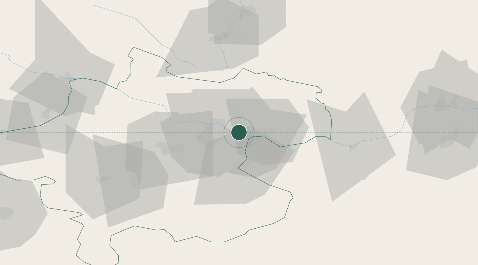
Hub Profile
Place type
Populated place
Region
Upper Austria
Population
1,158
Time zone
Europe/Vienna
Elevation
253 m
Location
Nearby Logistics Neighbours
Cities
- 1Steyregg5 km
- 2Asten6 km
- 3Ering7 km
- 4Gallneukirchen9 km
- 5Engerwitzdorf9 km
Ports
- 1Monfalcone284 km
- 2Nogaro295 km
- 3Trieste296 km
- 4Grado298 km
- 5Muggia301 km
Airports
- 1Linz-Hörsching Airport19 km
- 2České Budějovice South Bohemian Airport76 km
- 3Salzburg Airport119 km
- 4Hinterstoisser Air Base121 km
- 5Wiener Neustadt West Airport141 km
Trade Zones
DatabookThe Record of Consolidated Knowledge
Austria beyond logistics?