Transport Functions
Rail
Road
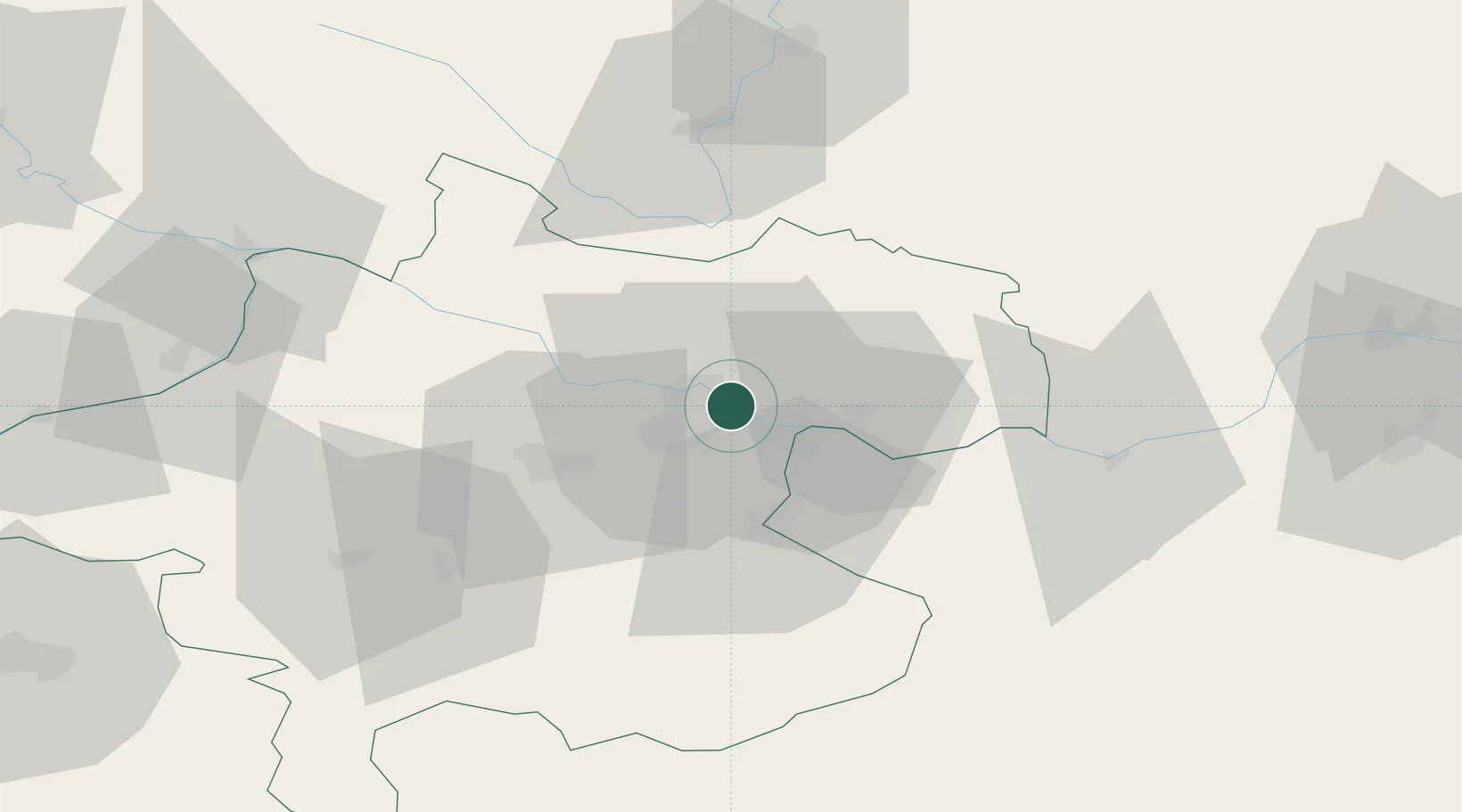
Hub Profile
Place type
Populated place
Region
Upper Austria
Population
2,987
Time zone
Europe/Vienna
Elevation
252 m
Location
Nearby Logistics Neighbours
Cities
- 1Linz5 km
- 2Abwinden5 km
- 3Asten8 km
- 4Gallneukirchen8 km
- 5Engerwitzdorf10 km
Ports
- 1Monfalcone285 km
- 2Nogaro295 km
- 3Trieste297 km
- 4Grado299 km
- 5Muggia302 km
Airports
- 1Linz-Hörsching Airport14 km
- 2České Budějovice South Bohemian Airport74 km
- 3Salzburg Airport115 km
- 4Hinterstoisser Air Base123 km
- 5Wiener Neustadt West Airport147 km
Trade Zones
DatabookThe Record of Consolidated Knowledge
Austria beyond logistics?