UN/LOCODE hub · Austria
AT6NR

Gallneukirchen

48.3500°, 14.4167°
6,492
Population
1
Transport functions

Transport Functions

Multimodal
UN/LOCODE

Hub Profile

Place type
District seat
GeoNames
Region
Upper Austria
GeoNames
Population
6,492
GeoNames
Time zone
Europe/Vienna
GeoNames
Elevation
339 m
GeoNames

Location

Location of AT6NR
Natural Earth 10m (public domain) · Upper Austria · AT6NR · 48.35, 14.42GoogleOSMYandex

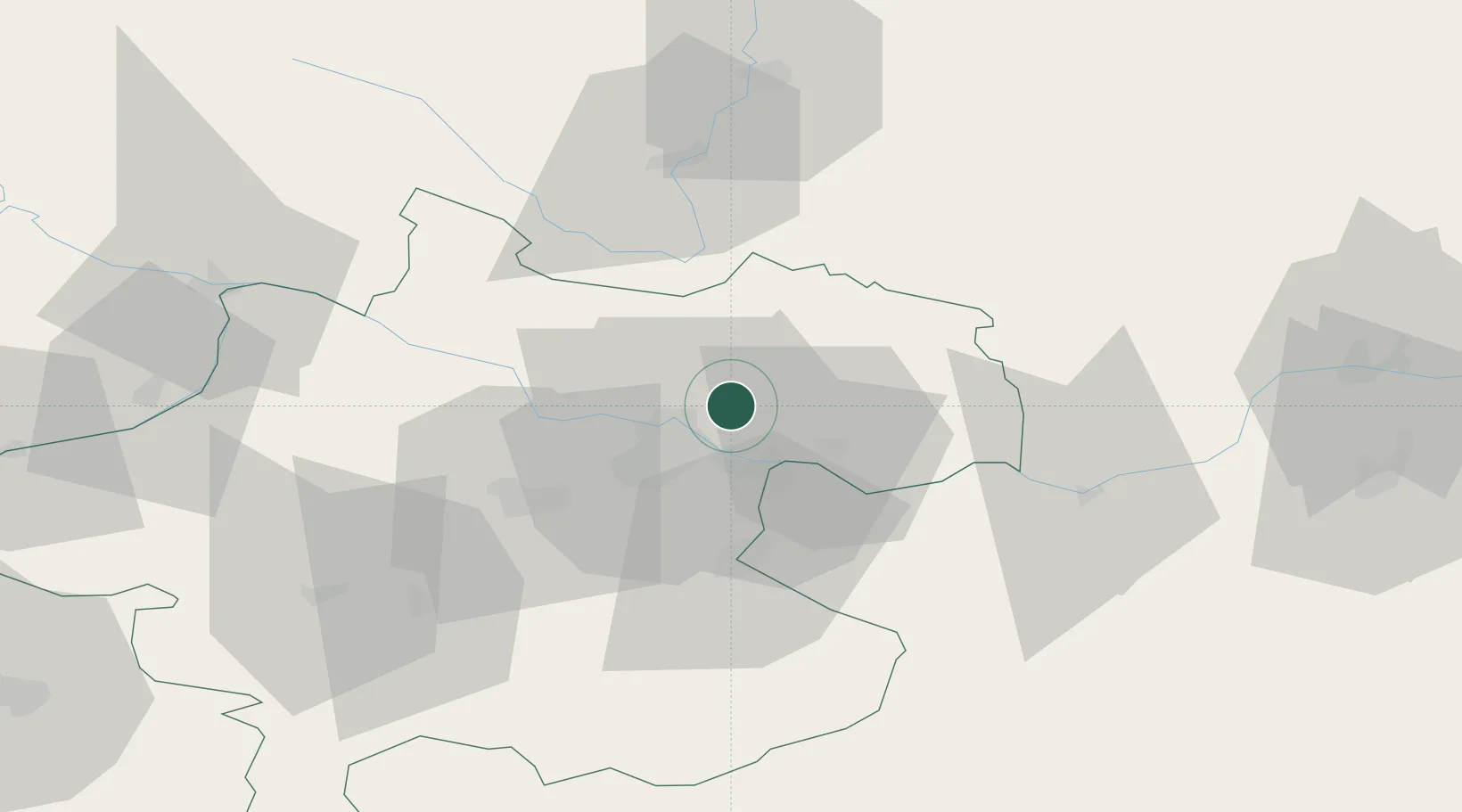
Nearby Logistics Neighbours

Cities
  1. 1Engerwitzdorf3 km
  2. 2Pregarten7 km
  3. 3Steyregg8 km
  4. 4Linz9 km
  5. 5Neumarkt im Mühlkreis9 km
Nearest neighbours — logibook spatial index (haversine) over the source coordinates
Ports
  1. 1Monfalcone293 km
  2. 2Nogaro303 km
  3. 3Trieste304 km
  4. 4Grado307 km
  5. 5Muggia310 km
Nearest neighbours — logibook spatial index (haversine) over the source coordinates
Airports
  1. 1Linz-Hörsching Airport21 km
  2. 2České Budějovice South Bohemian Airport67 km
  3. 3Salzburg Airport122 km
  4. 4Hinterstoisser Air Base130 km
  5. 5Wiener Neustadt West Airport146 km
Nearest neighbours — logibook spatial index (haversine) over the source coordinates
Trade Zones
  1. 1Freeport of Deggendorf124 km
  2. 2Světlá nad Sázavou Municipal Industrial Zone164 km
  3. 3Industrial Zone Kutna Hora187 km
  4. 4Černovická Terasa Industrial Zone189 km
  5. 5Kolín - Ovčáry Industrial Zone200 km
Nearest neighbours — logibook spatial index (haversine) over the source coordinates
DatabookThe Record of Consolidated Knowledge
Austria beyond logistics?
Browse databook

All Sources

LocationsUN/LOCODE
UN/LOCODE — free
LocationsGeoNames
CC BY 4.0
Portsthe NGA World Port Index
Public domain (US gov)
AirportsOurAirports
Public domain
Trade Zonesthe World Bank SEZ database
CC BY 4.0
Trade ZonesOpen Zone Map
CC BY
← Austria locations