UN/LOCODE hub · Germany
DEPLI

Püttlingen

49.2833°, 6.8833°
2
Transport functions

Transport Functions

Rail
Road
UN/LOCODE

Hub Profile

Region
SL
GeoNames

Location

Location of DEPLI
Natural Earth 10m (public domain) · SL · DEPLI · 49.28, 6.88GoogleOSMYandex

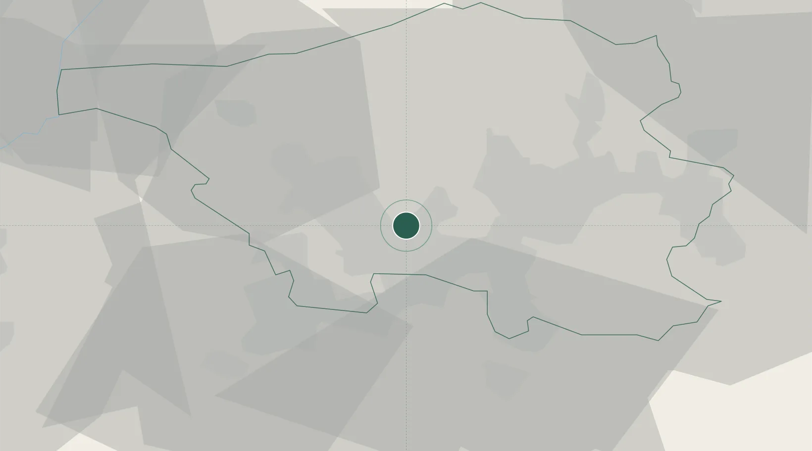
Nearby Logistics Neighbours

Cities
  1. 1Riegelsberg4 km
  2. 2Hostenbach5 km
  3. 3Bous6 km
  4. 4Wadgassen6 km
  5. 5Ensdorf9 km
Nearest neighbours — logibook spatial index (haversine) over the source coordinates
Ports
  1. 1Bruxelles252 km
  2. 2Antwerpen278 km
  3. 3Ghent299 km
  4. 4Hansweert316 km
  5. 5Terneuzen317 km
Nearest neighbours — logibook spatial index (haversine) over the source coordinates
Airports
  1. 1Saarbrücken Airport18 km
  2. 2Ramstein Air Base55 km
  3. 3Metz-Nancy-Lorraine Airport57 km
  4. 4Luxembourg-Findel International Airport62 km
  5. 5Phalsbourg-Bourscheid Air Base62 km
Nearest neighbours — logibook spatial index (haversine) over the source coordinates
Trade Zones
  1. 1ZFU La Cité Behren-lès-Forbach13 km
  2. 2ZFU Woippy-Metz55 km
  3. 3ZFU Metz56 km
  4. 4Luxembourg Free Port62 km
  5. 5ZFU Maxéville, Laxou, et de Nancy83 km
Nearest neighbours — logibook spatial index (haversine) over the source coordinates
DatabookThe Record of Consolidated Knowledge
Germany beyond logistics?
Browse databook

All Sources

LocationsUN/LOCODE
UN/LOCODE — free
Portsthe NGA World Port Index
Public domain (US gov)
AirportsOurAirports
Public domain
Trade Zonesthe World Bank SEZ database
CC BY 4.0
Trade ZonesOpen Zone Map
CC BY
← Germany locations