Transport Functions
Rail
Road
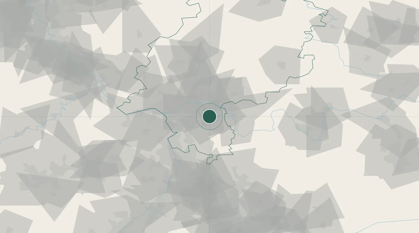
Hub Profile
Place type
Local administrative seat
Region
Hesse
Population
5,838
Time zone
Europe/Berlin
Elevation
138 m
Location
Nearby Logistics Neighbours
Cities
- 1Münster4 km
- 2Gross-Zimmern9 km
- 3Rossdorf13 km
- 4Lengfeld14 km
- 5Otzberg15 km
Airports
- 1Frankfurt-Egelsbach Airport15 km
- 2Frankfurt Main Airport23 km
- 3Wiesbaden Army Airfield39 km
- 4Mainz-Finthen Airfield50 km
- 5Mannheim-City Airport58 km
Trade Zones
- 1ZFU La Cité Behren-lès-Forbach164 km
- 2ZFU Hautepierre173 km
- 3ZFU Neuhof176 km
- 4Luxembourg Free Port192 km
- 5Rheinische Revier SWZ205 km
DatabookThe Record of Consolidated Knowledge
Germany beyond logistics?