Transport Functions
Rail
Road
Hub Profile
Place type
Local administrative seat
Region
Saxony-Anhalt
Population
2,282
Time zone
Europe/Berlin
Elevation
134 m
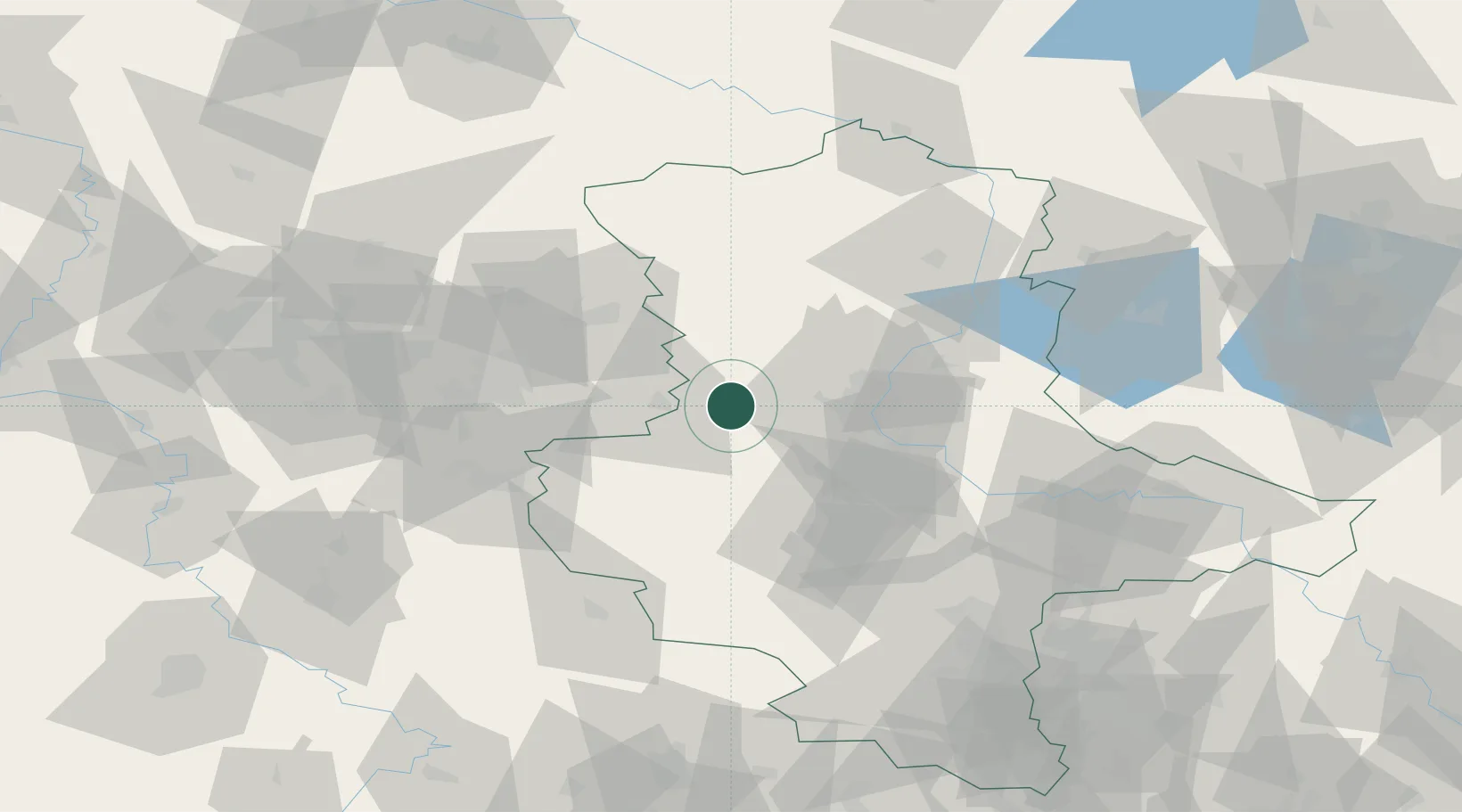
Location
Nearby Logistics Neighbours
Cities
- 1Harbke12 km
- 2Hötensleben14 km
- 3Helmstedt17 km
- 4Hohe Boerde18 km
- 5Irxleben18 km
Airports
- 1Braunschweig-Wolfsburg Airport49 km
- 2Zerbst Airfield66 km
- 3Celle Army Airfield95 km
- 4Leipzig/Halle Airport107 km
- 5Hannover Airport110 km
Trade Zones
DatabookThe Record of Consolidated Knowledge
Germany beyond logistics?