Transport Functions
Rail
Road
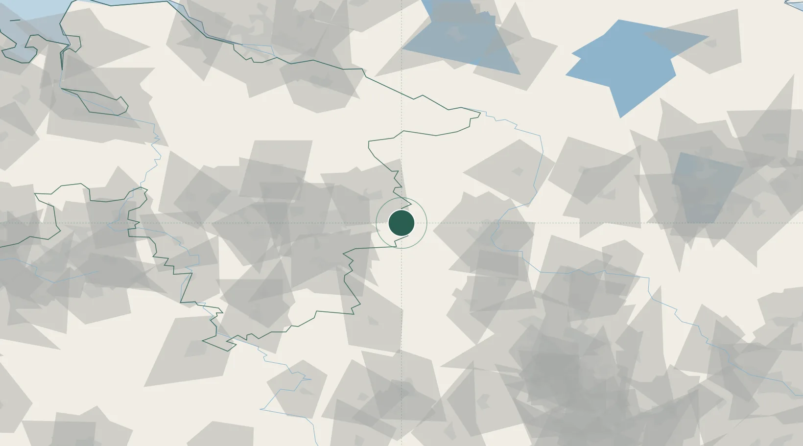
Hub Profile
Place type
District seat
Region
Lower Saxony
Population
25,515
Time zone
Europe/Berlin
Elevation
136 m
Location
Nearby Logistics Neighbours
Cities
- 1Mariental6 km
- 2Frellstedt6 km
- 3Harbke7 km
- 4Hötensleben13 km
- 5Eilsleben17 km
Airports
- 1Braunschweig-Wolfsburg Airport32 km
- 2Celle Army Airfield77 km
- 3Zerbst Airfield83 km
- 4Hannover Airport93 km
- 5Faßberg Air Base94 km
Trade Zones
DatabookThe Record of Consolidated Knowledge
Germany beyond logistics?