Transport Functions
Road
Multimodal
Hub Profile
Place type
Local administrative seat
Region
Saxony-Anhalt
Population
1,935
Time zone
Europe/Berlin
Elevation
125 m
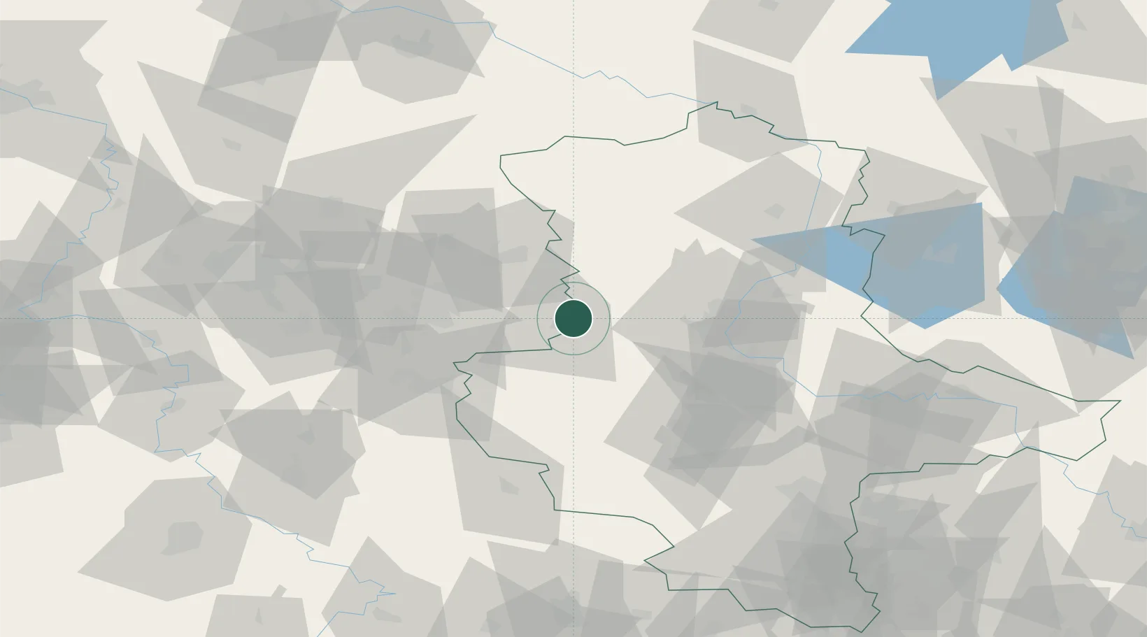
Location
Nearby Logistics Neighbours
Cities
- 1Helmstedt7 km
- 2Hötensleben8 km
- 3Frellstedt10 km
- 4Eilsleben12 km
- 5Mariental12 km
Airports
- 1Braunschweig-Wolfsburg Airport37 km
- 2Zerbst Airfield78 km
- 3Celle Army Airfield83 km
- 4Hannover Airport98 km
- 5Faßberg Air Base101 km
Trade Zones
DatabookThe Record of Consolidated Knowledge
Germany beyond logistics?