Transport Functions
Rail
Road
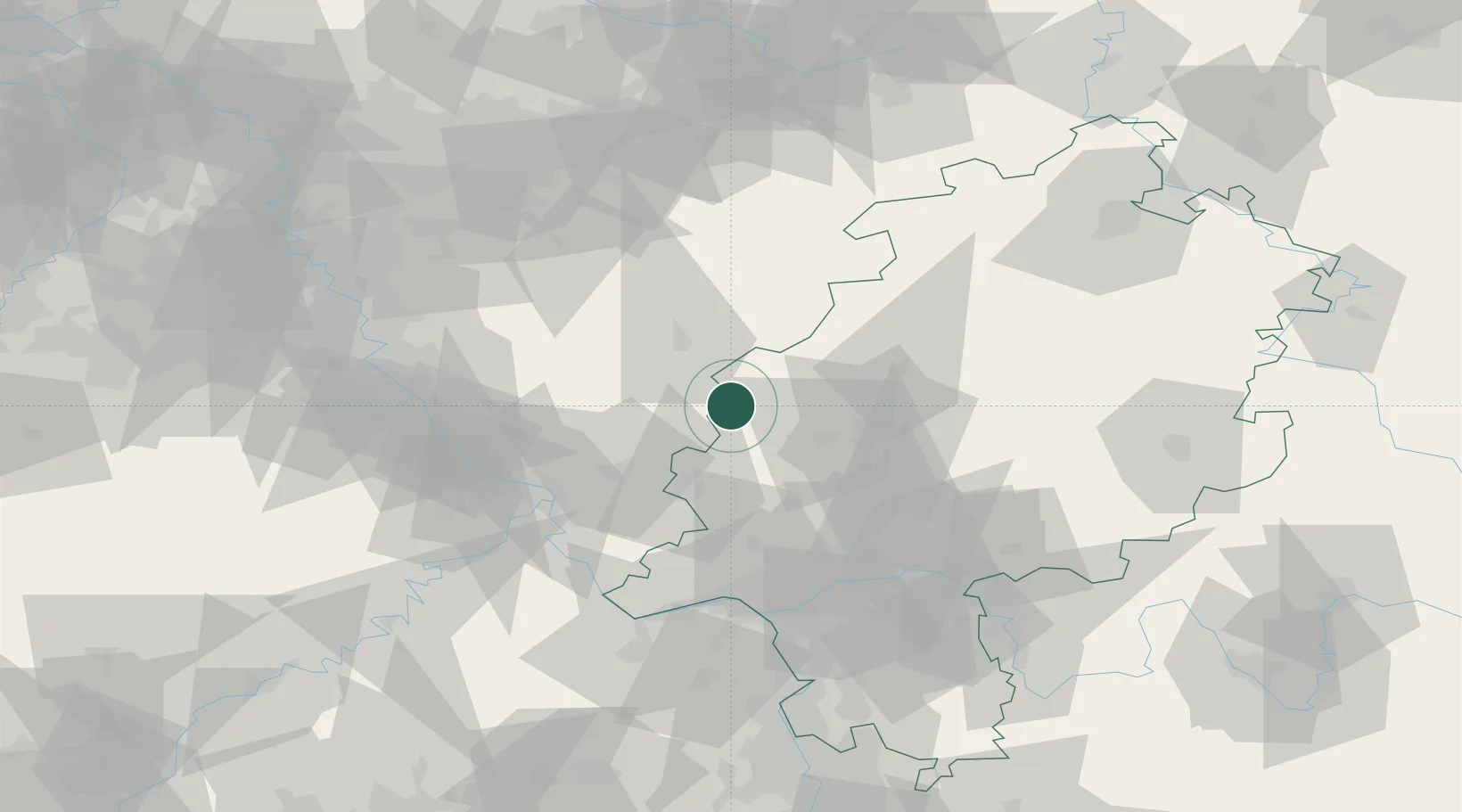
Hub Profile
Place type
Local administrative seat
Region
Hesse
Population
5,000
Time zone
Europe/Berlin
Elevation
454 m
Location
Nearby Logistics Neighbours
Cities
- 1Fleisbach9 km
- 2Sinn10 km
- 3Fellerdilln13 km
- 4Neustadt13 km
- 5Bischoffen13 km
Airports
- 1Siegerland Airport9 km
- 2Wiesbaden Army Airfield71 km
- 3Cologne Bonn Airport77 km
- 4Frankfurt Main Airport77 km
- 5Mainz-Finthen Airfield80 km
Trade Zones
- 1Rheinische Revier SWZ130 km
- 2Freeport of Duisburg141 km
- 3Luxembourg Free Port183 km
- 4ZFU La Cité Behren-lès-Forbach192 km
- 5ZFU Woippy-Metz225 km
DatabookThe Record of Consolidated Knowledge
Germany beyond logistics?