UN/LOCODE hub · Germany
DERTD

Rottendorf (Wurzburg)

49.8000°, 10.0333°
3
Transport functions

Transport Functions

Rail
Road
Multimodal
UN/LOCODE

Hub Profile

Region
BY
GeoNames

Location

Location of DERTD
Natural Earth 10m (public domain) · BY · DERTD · 49.80, 10.03GoogleOSMYandex

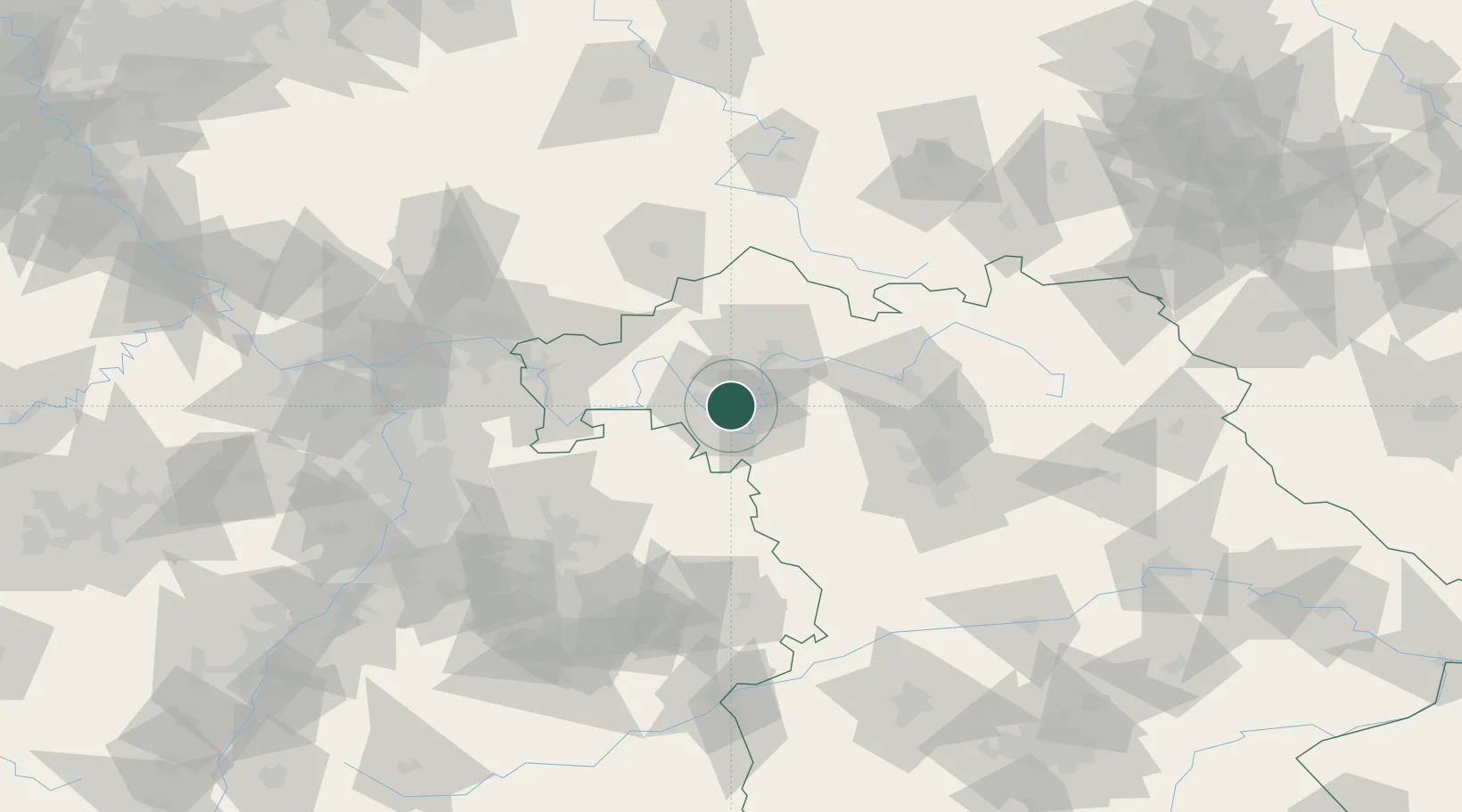
Nearby Logistics Neighbours

Cities
  1. 1Effeldorf4 km
  2. 2Euerfeld6 km
  3. 3Seligenstadt7 km
  4. 4Eibelstadt10 km
  5. 5Sommerhausen11 km
Nearest neighbours — logibook spatial index (haversine) over the source coordinates
Ports
  1. 1Bremen381 km
  2. 2Oldenburg390 km
  3. 3Elsfleth397 km
  4. 4Brake407 km
  5. 5Papenburg410 km
Nearest neighbours — logibook spatial index (haversine) over the source coordinates
Airports
  1. 1Niederstetten Army Air Base46 km
  2. 2Bamberg-Breitenau Airfield65 km
  3. 3Adolf Würth Airport78 km
  4. 4Nuremberg Airport82 km
  5. 5Frankfurt-Egelsbach Airport101 km
Nearest neighbours — logibook spatial index (haversine) over the source coordinates
Trade Zones
  1. 1ZFU Neuhof216 km
  2. 2ZFU Hautepierre217 km
  3. 3Freeport of Deggendorf233 km
  4. 4ZFU La Cité Behren-lès-Forbach235 km
  5. 5Podbořany Industrial Zone246 km
Nearest neighbours — logibook spatial index (haversine) over the source coordinates
DatabookThe Record of Consolidated Knowledge
Germany beyond logistics?
Browse databook

All Sources

LocationsUN/LOCODE
UN/LOCODE — free
Portsthe NGA World Port Index
Public domain (US gov)
AirportsOurAirports
Public domain
Trade Zonesthe World Bank SEZ database
CC BY 4.0
Trade ZonesOpen Zone Map
CC BY
← Germany locations