UN/LOCODE hub · Czechia
CZBNR
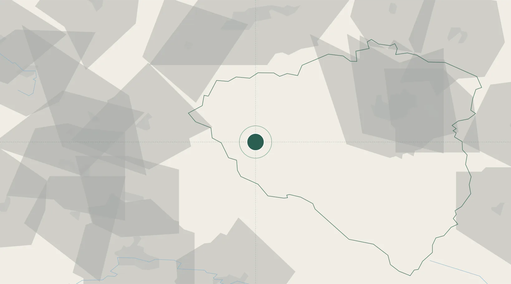
Bela nad Radbuzou
49.6000°, 12.7167°
1,812
Population
1
Transport functions
Transport Functions
Multimodal
Hub Profile
Place type
Populated place
Region
Plzeň Region
Population
1,812
Time zone
Europe/Prague
Elevation
441 m
Location
Nearby Logistics Neighbours
Cities
- 1Eslarn15 km
- 2Grobenstadt22 km
- 3Chodov22 km
- 4Pleystein22 km
- 5Stankov26 km
Ports
- 1Nogaro428 km
- 2Monfalcone429 km
- 3Grado436 km
- 4Szczecin443 km
- 5Trieste446 km
Airports
- 1Plzeň-Líně Airport41 km
- 2Grafenwöhr Army Air Field57 km
- 3Karlovy Vary Airport69 km
- 4Hohenfels Army Airfield77 km
- 5Bayreuth Airport88 km
Trade Zones
DatabookThe Record of Consolidated Knowledge
Czechia beyond logistics?