Transport Functions
Multimodal
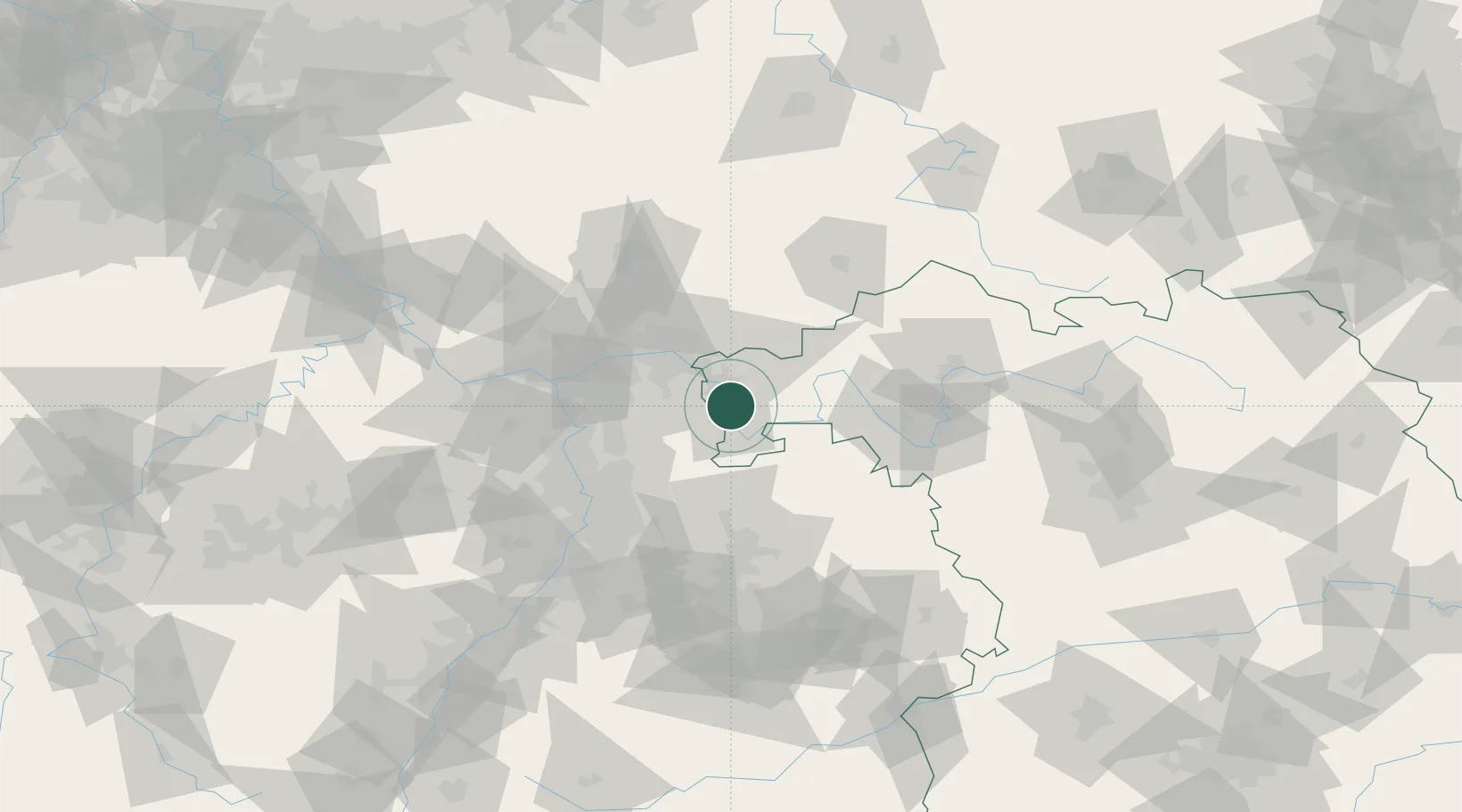
Hub Profile
Place type
Populated place
Region
Bavaria
Population
5,816
Time zone
Europe/Berlin
Elevation
124 m
Location
Nearby Logistics Neighbours
Cities
- 1Sulzbach am Main4 km
- 2Elsenfeld4 km
- 3Obernburg am Main4 km
- 4Mömlingen6 km
- 5Erlenbach am Main7 km
Airports
- 1Frankfurt-Egelsbach Airport39 km
- 2Frankfurt Main Airport47 km
- 3Wiesbaden Army Airfield64 km
- 4Mannheim-City Airport64 km
- 5Mainz-Finthen Airfield74 km
Trade Zones
- 1ZFU Hautepierre177 km
- 2ZFU Neuhof179 km
- 3ZFU La Cité Behren-lès-Forbach179 km
- 4Luxembourg Free Port213 km
- 5Rheinische Revier SWZ229 km
DatabookThe Record of Consolidated Knowledge
Germany beyond logistics?