Transport Functions
Multimodal
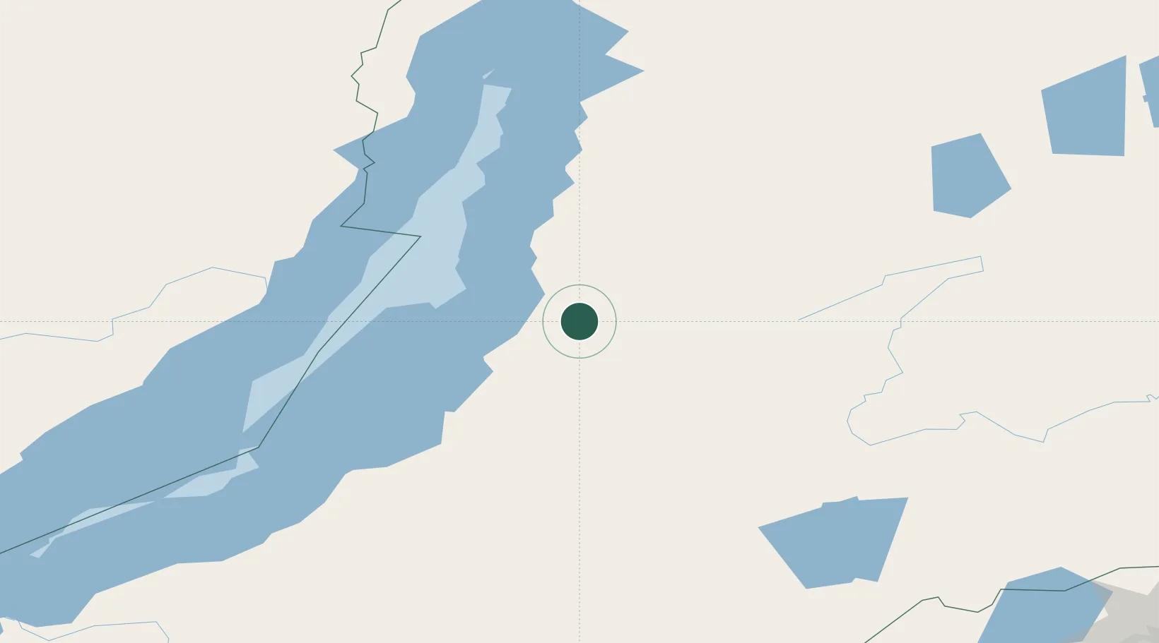
Hub Profile
Place type
Populated place
Region
Brandenburg
Time zone
Europe/Berlin
Elevation
12 m
Location
Nearby Logistics Neighbours
Cities
- 1Badersleben153 km
- 2Edberg227 km
- 3Blankenheim333 km
- 4Tayura398 km
- 5Konets Lug404 km
Ports
- 1Jinzhou Wan1686 km
- 2Huludao Gang1687 km
- 3Qinhuangdao1719 km
- 4Yingkou1736 km
- 5Bayuquan1768 km
Airports
- 1Khuzhir Airport190 km
- 2Nizhneangarsk International Airport206 km
- 3Ulan-Ude East Airport280 km
- 4Bada Air Base285 km
- 5Baikal International Airport295 km
Trade Zones
DatabookThe Record of Consolidated Knowledge
Germany beyond logistics?