Transport Functions
Multimodal
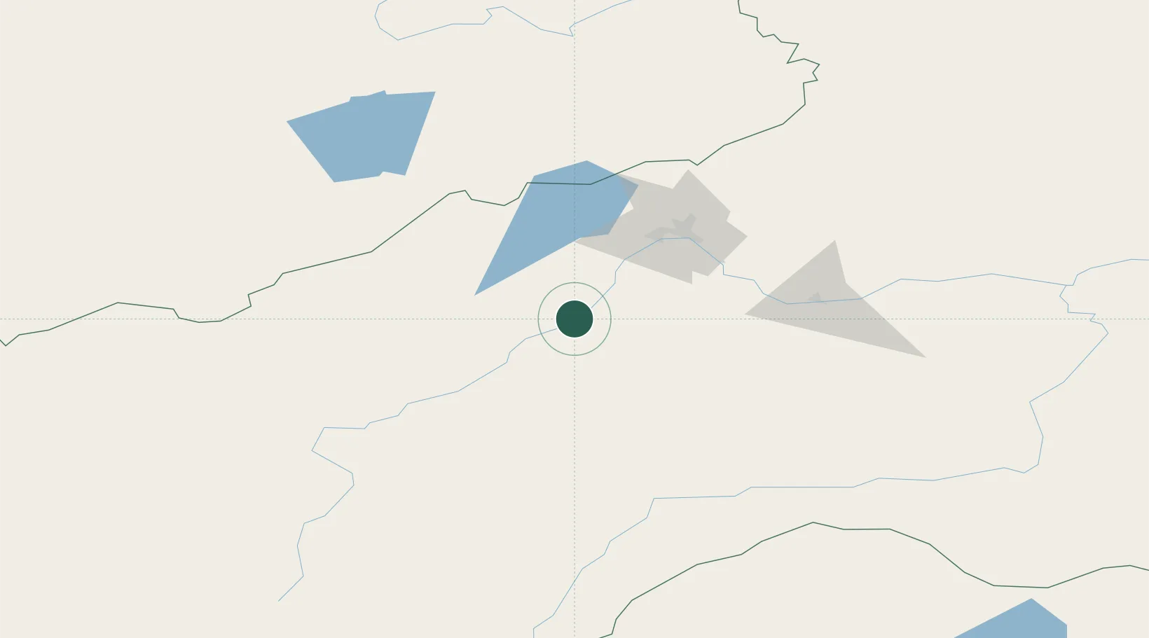
Hub Profile
Place type
Local administrative seat
Region
Saxony-Anhalt
Population
1,436
Time zone
Europe/Berlin
Elevation
297 m
Location
Nearby Logistics Neighbours
Cities
- 1Edberg141 km
- 2Adelschlag240 km
- 3Foremost247 km
- 4Badersleben262 km
- 5Neuenhagen333 km
Ports
- 1Jinzhou Wan1354 km
- 2Huludao Gang1355 km
- 3Qinhuangdao1390 km
- 4Yingkou1403 km
- 5Bayuquan1435 km
Airports
- 1Chita-Kadala International Airport65 km
- 2Cheryomushki Air Base74 km
- 3Step Air Base189 km
- 4Bada Air Base204 km
- 5Chindant Air Base276 km
Trade Zones
DatabookThe Record of Consolidated Knowledge
Germany beyond logistics?