Transport Functions
Multimodal
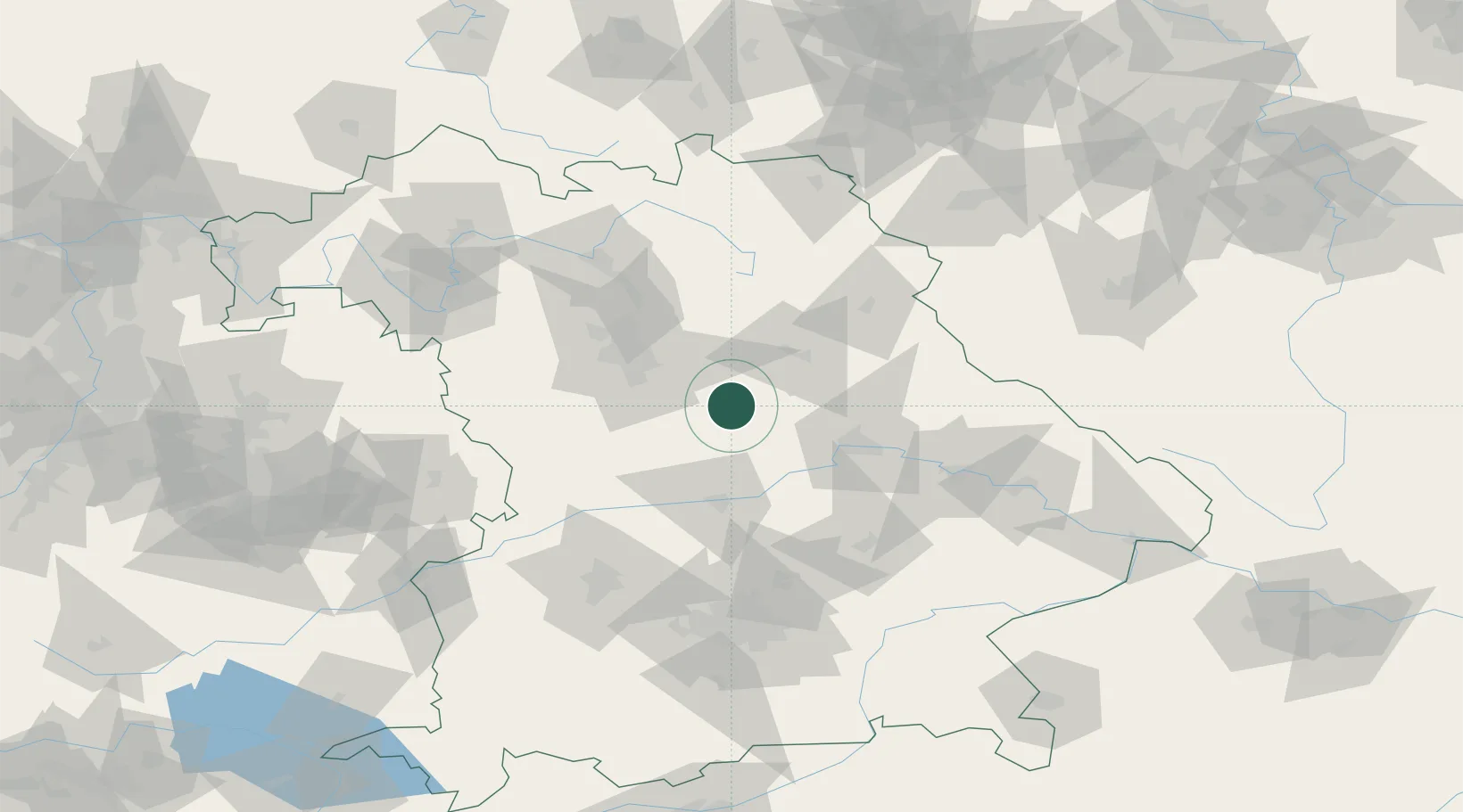
Hub Profile
Place type
Local administrative seat
Region
Bavaria
Population
4,289
Time zone
Europe/Berlin
Elevation
472 m
Location
Nearby Logistics Neighbours
Cities
- 1Sengenthal4 km
- 2Neumarkt in der Oberpfalz8 km
- 3Thannhausen13 km
- 4Freystadt15 km
- 5Postbauer-Heng15 km
Ports
- 1Nogaro404 km
- 2Monfalcone411 km
- 3Grado414 km
- 4Porto Di Lido-Venezia428 km
- 5Trieste430 km
Airports
- 1Hohenfels Army Airfield23 km
- 2Nuremberg Airport45 km
- 3Ingolstadt Manching Airport56 km
- 4Neuburg Air Base61 km
- 5Grafenwöhr Army Air Field62 km
Trade Zones
DatabookThe Record of Consolidated Knowledge
Germany beyond logistics?