Transport Functions
Multimodal
Hub Profile
Place type
Populated place
Region
Bavaria
Population
2,514
Time zone
Europe/Berlin
Elevation
298 m
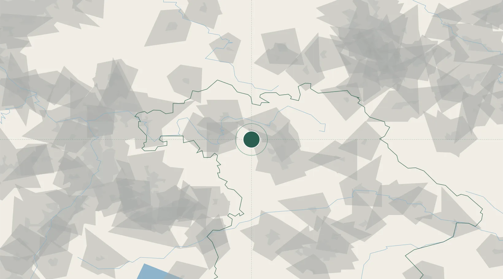
Location
Nearby Logistics Neighbours
Cities
- 1Schlüsselfeld3 km
- 2Wachenroth9 km
- 3Burgwindheim9 km
- 4Geiselwind10 km
- 5Dachsbach12 km
Airports
- 1Bamberg-Breitenau Airfield31 km
- 2Nuremberg Airport43 km
- 3Niederstetten Army Air Base60 km
- 4Bayreuth Airport80 km
- 5Adolf Würth Airport90 km
Trade Zones
- 1Freeport of Deggendorf194 km
- 2Podbořany Industrial Zone208 km
- 3Žatec - Triangle Strategic Industrial Zone221 km
- 4Most - Joseph Industrial Zone233 km
- 5ZFU Neuhof245 km
DatabookThe Record of Consolidated Knowledge
Germany beyond logistics?