Transport Functions
Port
Rail
Road
Hub Profile
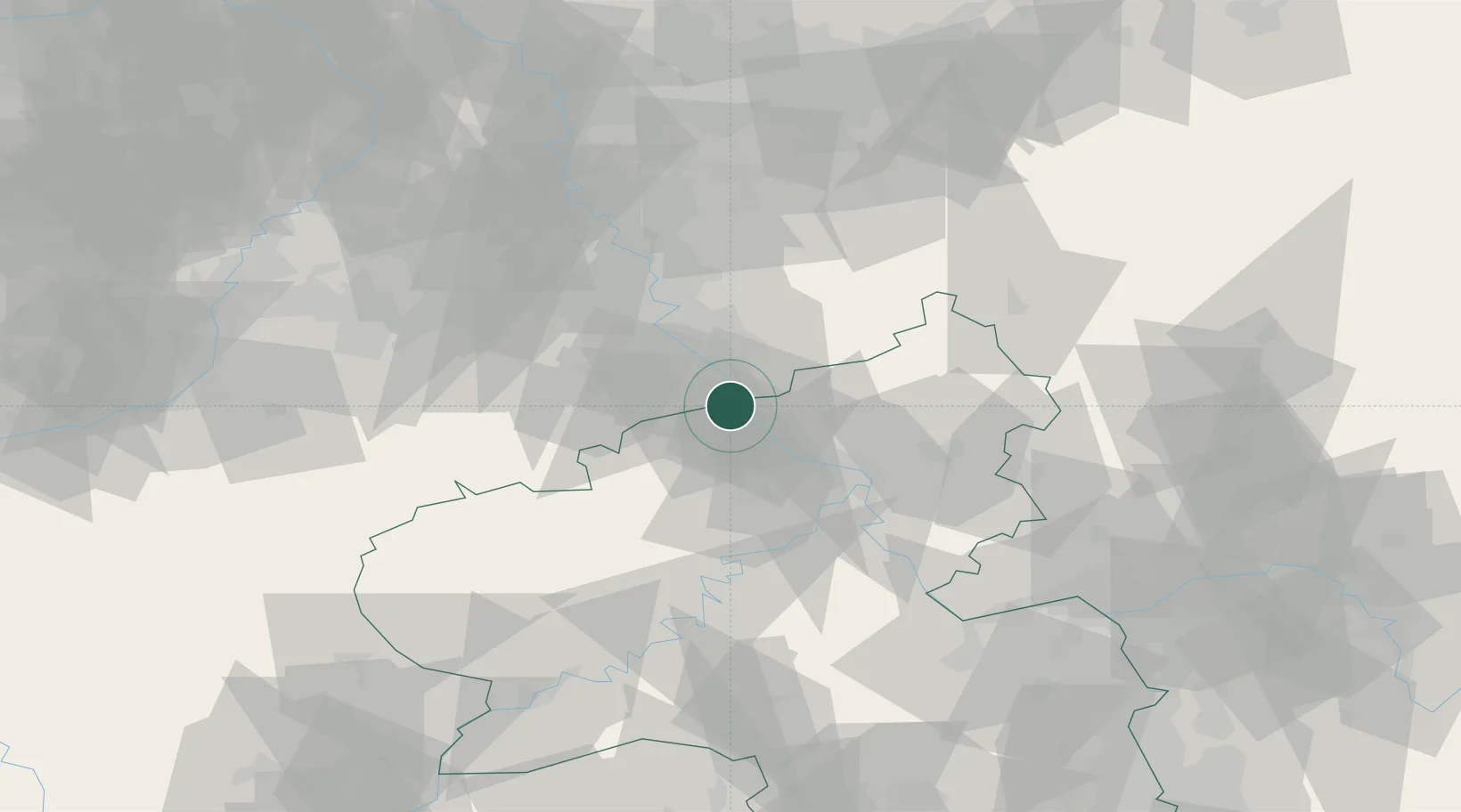
Place type
Populated place
Region
Rheinland-Pfalz
Time zone
Europe/Berlin
Elevation
57 m
Location
Nearby Logistics Neighbours
Cities
- 1Unkel1 km
- 2Linz am Rhein7 km
- 3Fritzdorf7 km
- 4Grafschaft10 km
- 5Niederdollendorf11 km
Airports
- 1Cologne Bonn Airport30 km
- 2Nörvenich Air Base46 km
- 3Büchel Air Base48 km
- 4Siegerland Airport63 km
- 5Frankfurt-Hahn Airport73 km
Trade Zones
- 1Rheinische Revier SWZ67 km
- 2Freeport of Duisburg103 km
- 3Luxembourg Free Port128 km
- 4ZFU La Cité Behren-lès-Forbach161 km
- 5ZFU Woippy-Metz178 km
DatabookThe Record of Consolidated Knowledge
Germany beyond logistics?