Transport Functions
Rail
Road
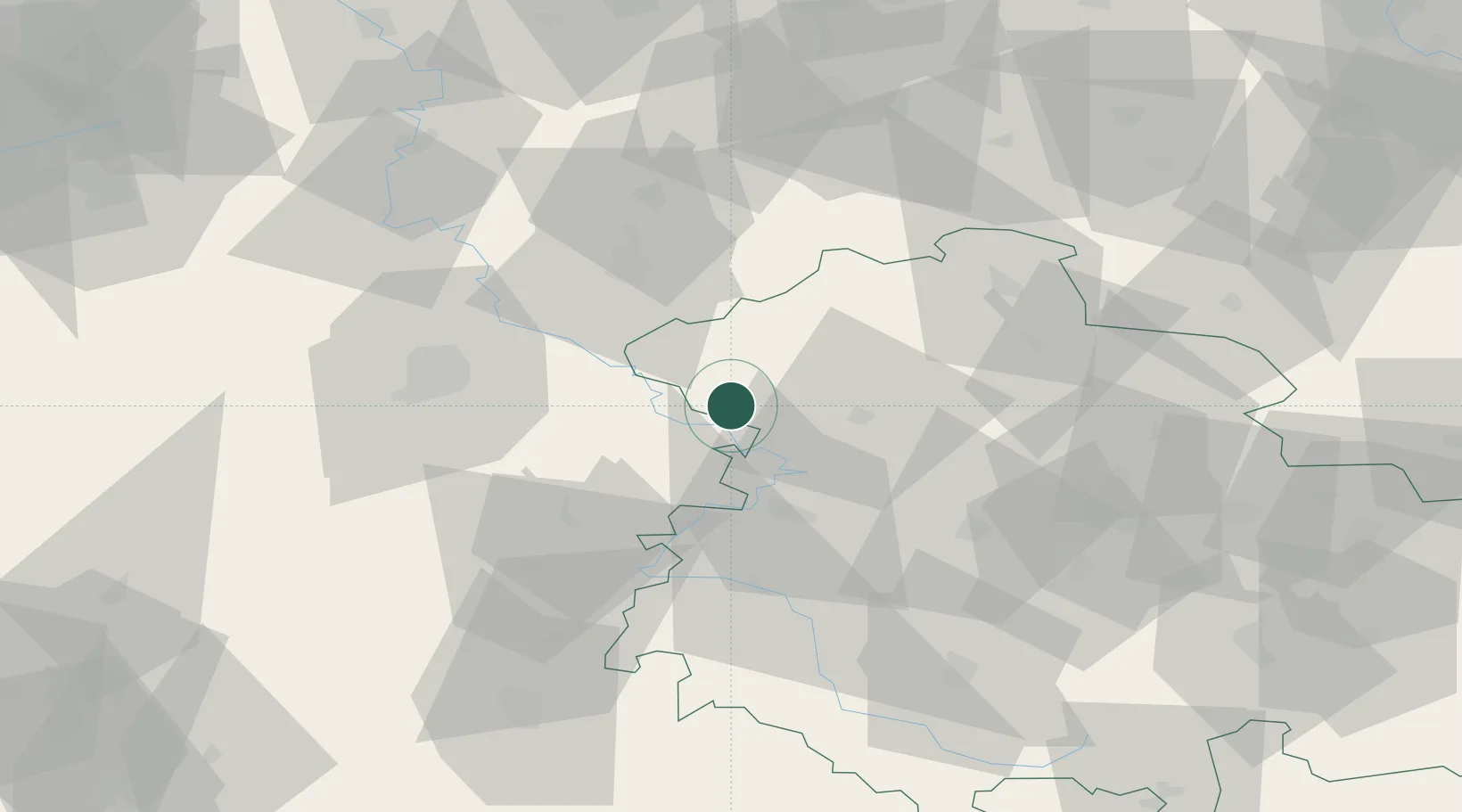
Hub Profile
Place type
Local administrative seat
Region
Thuringia
Population
1,285
Time zone
Europe/Berlin
Elevation
212 m
Location
Nearby Logistics Neighbours
Cities
- 1Frieda4 km
- 2Effelder5 km
- 3Rodeberg10 km
- 4Weissenborn12 km
- 5Dingelstädt13 km
Airports
- 1Eisenach-Kindel Airport35 km
- 2Kassel Airport58 km
- 3Erfurt-Weimar Airport62 km
- 4Fritzlar Army Airfield63 km
- 5Paderborn Lippstadt Airport115 km
Trade Zones
DatabookThe Record of Consolidated Knowledge
Germany beyond logistics?