Transport Functions
Multimodal
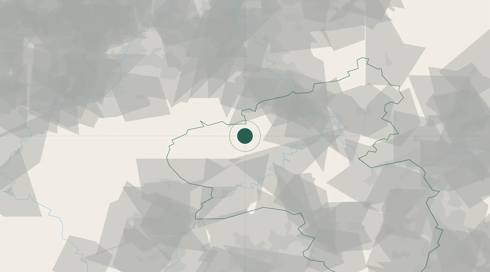
Hub Profile
Place type
Local administrative seat
Region
Rheinland-Pfalz
Population
925
Time zone
Europe/Berlin
Elevation
480 m
Location
Nearby Logistics Neighbours
Airports
- 1Büchel Air Base22 km
- 2Spangdahlem Air Base31 km
- 3Frankfurt-Hahn Airport48 km
- 4Nörvenich Air Base65 km
- 5Cologne Bonn Airport73 km
Trade Zones
- 1Rheinische Revier SWZ79 km
- 2Luxembourg Free Port79 km
- 3ZFU La Cité Behren-lès-Forbach121 km
- 4ZFU Woippy-Metz130 km
- 5Freeport of Duisburg134 km
DatabookThe Record of Consolidated Knowledge
Germany beyond logistics?