Transport Functions
Rail
Road
Hub Profile
Region
RP
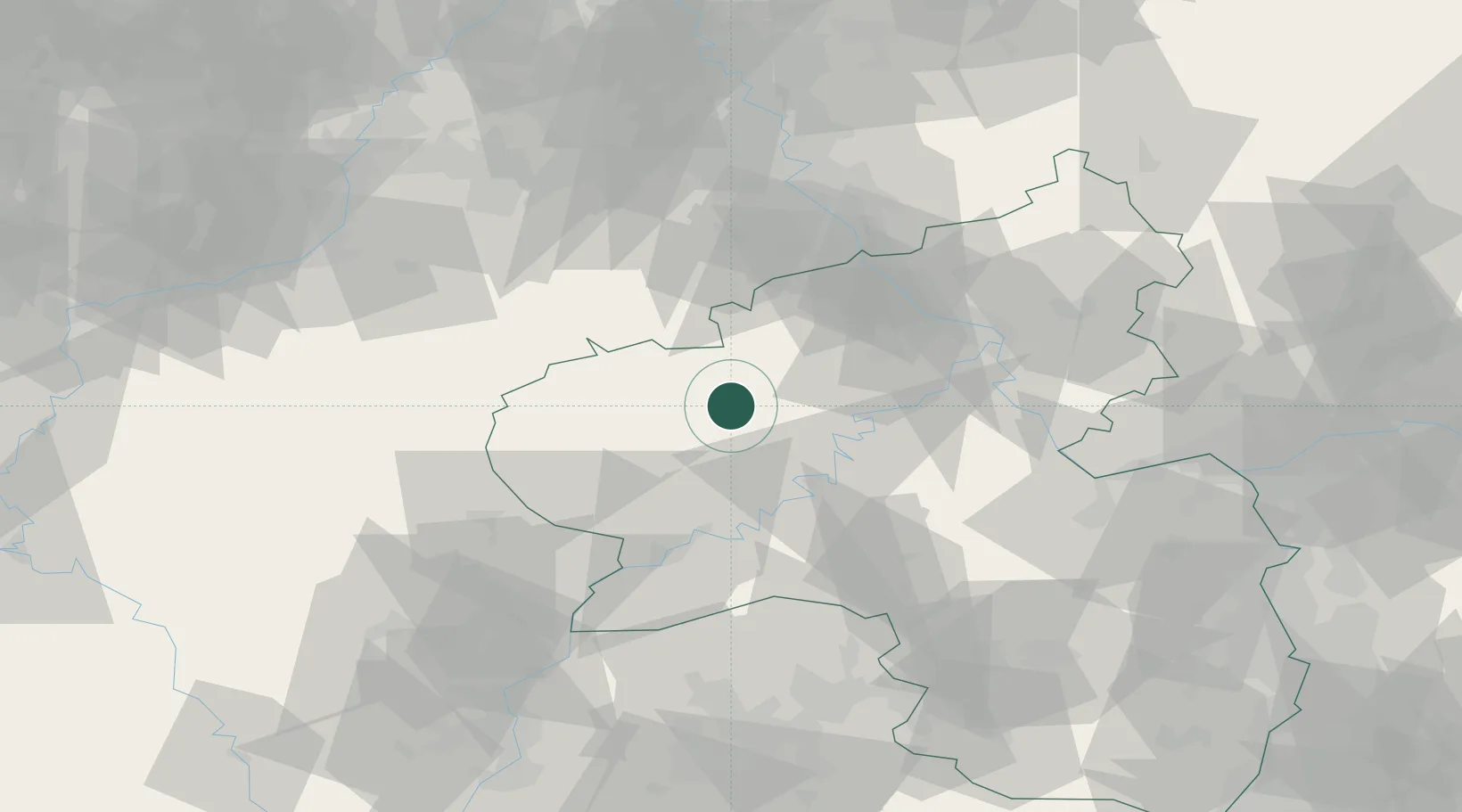
Location
Nearby Logistics Neighbours
Cities
- 1Dreis-Brück8 km
- 2Gefell9 km
- 3Neichen10 km
- 4Pelm11 km
- 5Kelberg13 km
Airports
- 1Büchel Air Base18 km
- 2Spangdahlem Air Base25 km
- 3Frankfurt-Hahn Airport41 km
- 4Nörvenich Air Base73 km
- 5Luxembourg-Findel International Airport76 km
Trade Zones
- 1Luxembourg Free Port74 km
- 2Rheinische Revier SWZ86 km
- 3ZFU La Cité Behren-lès-Forbach113 km
- 4ZFU Woippy-Metz124 km
- 5ZFU Metz129 km
DatabookThe Record of Consolidated Knowledge
Germany beyond logistics?