Transport Functions
Multimodal
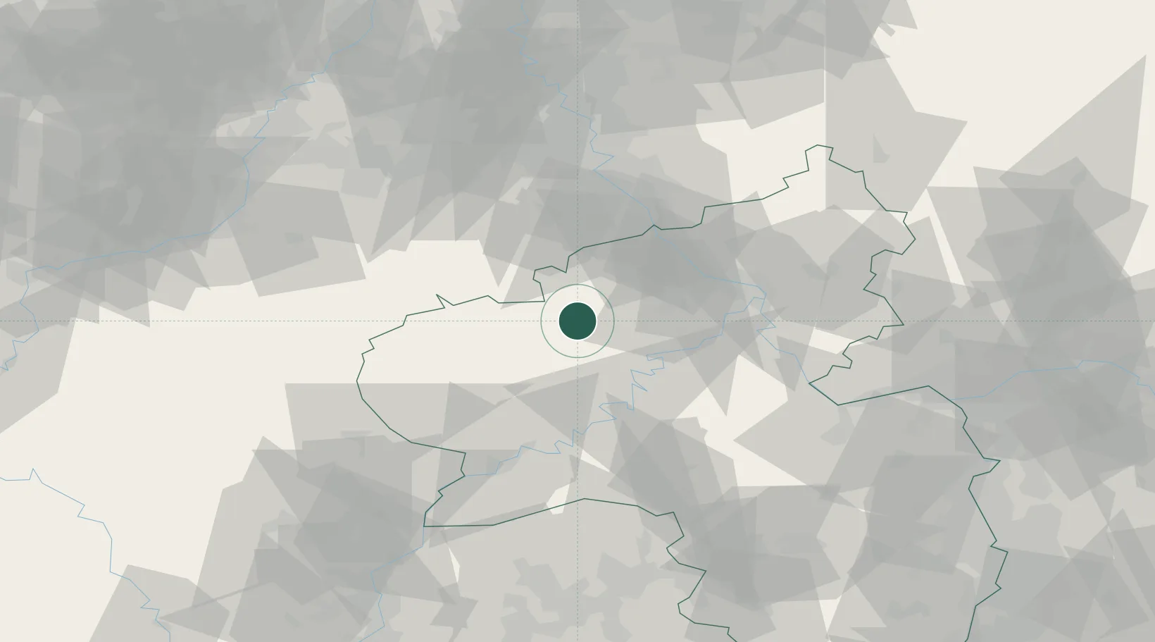
Hub Profile
Place type
Local administrative seat
Region
Rheinland-Pfalz
Population
2,031
Time zone
Europe/Berlin
Elevation
481 m
Location
Nearby Logistics Neighbours
Cities
- 1Müllenbach (Ahrweiler)4 km
- 2Reimerath4 km
- 3Neichen4 km
- 4Gefell6 km
- 5Nürburg6 km
Airports
- 1Büchel Air Base16 km
- 2Spangdahlem Air Base38 km
- 3Frankfurt-Hahn Airport45 km
- 4Nörvenich Air Base64 km
- 5Cologne Bonn Airport67 km
Trade Zones
- 1Rheinische Revier SWZ79 km
- 2Luxembourg Free Port87 km
- 3ZFU La Cité Behren-lès-Forbach124 km
- 4Freeport of Duisburg131 km
- 5ZFU Woippy-Metz138 km
DatabookThe Record of Consolidated Knowledge
Germany beyond logistics?