Transport Functions
Port
Road
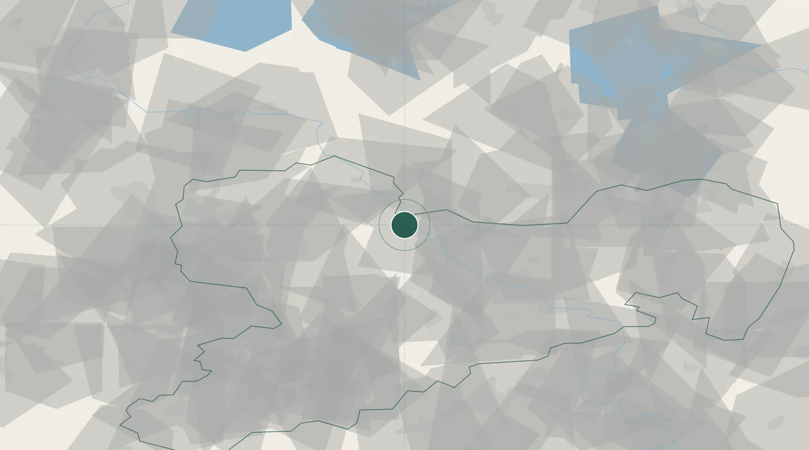
Hub Profile
Region
SN
Location
Nearby Logistics Neighbours
Ports
- 1Szczecin247 km
- 2Police263 km
- 3Swinoujscie294 km
- 4Wolgast303 km
- 5Wismar307 km
Airports
- 1Dresden Airport45 km
- 2Holzdorf Air Base47 km
- 3Leipzig–Altenburg Airport64 km
- 4Leipzig/Halle Airport69 km
- 5Zerbst Airfield103 km
Trade Zones
DatabookThe Record of Consolidated Knowledge
Germany beyond logistics?