UN/LOCODE hub · Germany
DECHS

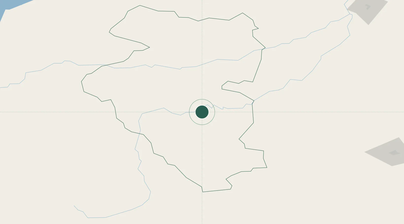
Höchstädt an der Donau

48.6000°, 103.6667°
6,795
Population
2
Transport functions

Transport Functions

Road
Multimodal
UN/LOCODE

Hub Profile

Place type
Populated place
GeoNames
Region
Bavaria
GeoNames
Population
6,795
GeoNames
Time zone
Europe/Berlin
GeoNames
Elevation
418 m
GeoNames

Location

Location of DECHS
Natural Earth 10m (public domain) · Bavaria · DECHS · 48.60, 103.67GoogleOSMYandex

Nearby Logistics Neighbours

Cities
  1. 1Keulrod220 km
  2. 2Teluk Rubiah260 km
  3. 3Ammern295 km
  4. 4Haynrode315 km
  5. 5Irkutsk410 km
Nearest neighbours — logibook spatial index (haversine) over the source coordinates
Ports
  1. 1Tianjin Xin Gang1558 km
  2. 2Qinhuangdao1589 km
  3. 3Tangshan (Jingtang)1609 km
  4. 4Huludao Gang1622 km
  5. 5Jinzhou Wan1626 km
Nearest neighbours — logibook spatial index (haversine) over the source coordinates
Airports
  1. 1Bulgan Airport32 km
  2. 2Buyant-Ukhaa International Airport245 km
  3. 3Ulaanbaatar Chinggis Khaan International Airport257 km
  4. 4Arvaikheer Airport269 km
  5. 5Mörön Airport285 km
Nearest neighbours — logibook spatial index (haversine) over the source coordinates
Trade Zones
  1. 1Altanbulag Special Economic Zone277 km
  2. 2Baikal Gates Special Economic Zone326 km
  3. 3Baikal Haven Touristic Zone454 km
  4. 4Ceke Port Economic Development Zone694 km
  5. 5Zamyn-Üüd Special Economic Zone834 km
Nearest neighbours — logibook spatial index (haversine) over the source coordinates
DatabookThe Record of Consolidated Knowledge
Germany beyond logistics?
Browse databook

All Sources

LocationsUN/LOCODE
UN/LOCODE — free
LocationsGeoNames
CC BY 4.0
Portsthe NGA World Port Index
Public domain (US gov)
AirportsOurAirports
Public domain
Trade Zonesthe World Bank SEZ database
CC BY 4.0
Trade ZonesOpen Zone Map
CC BY
← Germany locations