Medium airport · Mongolia

Arvaikheer AirportZMAH
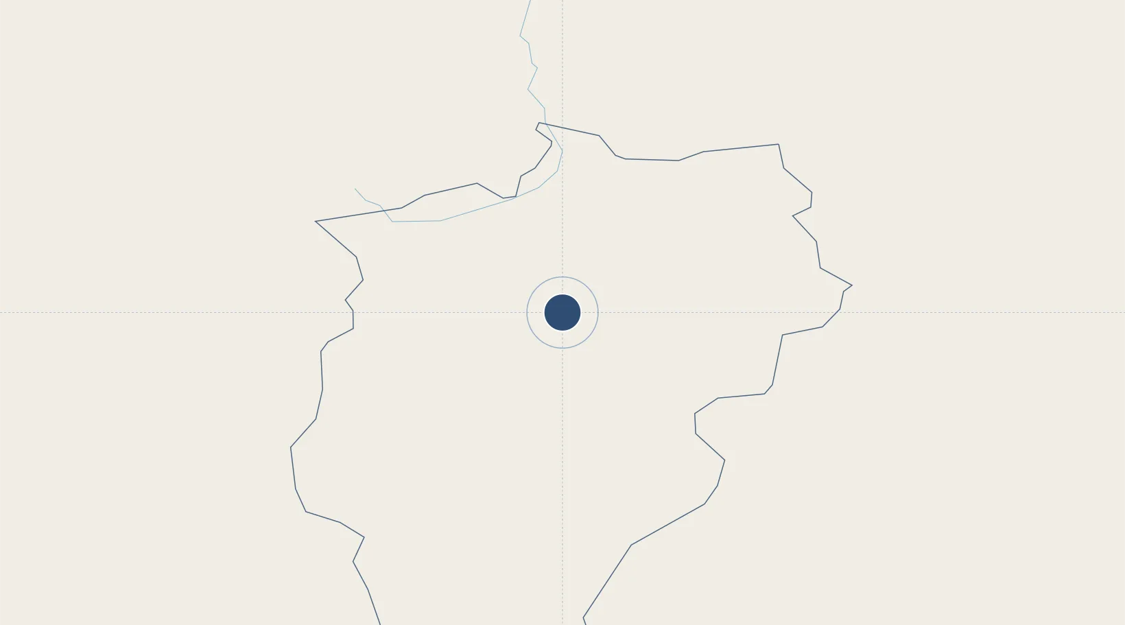
46.2503°, 102.8020°
7,546 ft
Longest runway
1
Runways
5,932 ft
Elevation

Runway & Layout

Arvaikheer Airport runway & taxiway layout
Runway & taxiway layout — OpenStreetMap (ODbL) / OurAirports

Navaids

B NDB Arvaikheer 650 kHz
OG NDB Arvaikheer 350 kHz
OurAirports

Runways · 1

RunwayDimensions SurfaceTrue headingLit
14/32 7,546 × —ft Unknown
OurAirports

Airport Specifications

IATA code
AVK
OurAirports
ICAO code
ZMAH
OurAirports
Airport class
Medium airport
OurAirports
Scheduled service
Yes
OurAirports
Runway surface
Unknown
OurAirports
Served city
Arvaikheer
OurAirports

Location

Location of ZMAH
Natural Earth 10m (public domain) · Övörhangay · ZMAH · 46.25, 102.80GoogleOSMYandex

Nearby Logistics Neighbours

Airports
  1. 1Bayankhongor Airport162 km
  2. 2Mandalgobi Airport274 km
  3. 3Bulgan Airport294 km
  4. 4Dalanzadgad Airport319 km
  5. 5Ulaanbaatar Chinggis Khaan International Airport342 km
Nearest neighbours — logibook spatial index (haversine) over the source coordinates
Cities
  1. 1Höchstädt an der Donau269 km
  2. 2Teluk Rubiah429 km
  3. 3Keulrod489 km
  4. 4Ammern555 km
  5. 5Grande Pointe559 km
Nearest neighbours — logibook spatial index (haversine) over the source coordinates
Ports
  1. 1Tianjin Xin Gang1469 km
  2. 2Qinhuangdao1531 km
  3. 3Tangshan (Jingtang)1535 km
  4. 4Huludao Gang1587 km
  5. 5Jinzhou Wan1593 km
Nearest neighbours — logibook spatial index (haversine) over the source coordinates
Trade Zones
  1. 1Ceke Port Economic Development Zone425 km
  2. 2Altanbulag Special Economic Zone526 km
  3. 3Baikal Gates Special Economic Zone594 km
  4. 4Urad Rear Banner Circular Economy Industrial Park672 km
  5. 5Baikal Haven Touristic Zone710 km
Nearest neighbours — logibook spatial index (haversine) over the source coordinates
DatabookThe Record of Consolidated Knowledge
Mongolia beyond logistics?
Browse databook

All Sources

AirportsOurAirports
Public domain
Portsthe NGA World Port Index
Public domain (US gov)
LocationsUN/LOCODE
UN/LOCODE — free
Trade Zonesthe World Bank SEZ database
CC BY 4.0
Trade ZonesOpen Zone Map
CC BY
InfrastructureOpenStreetMap
ODbL 1.0
← Mongolia airports