Transport Functions
Multimodal
Hub Profile
Place type
Populated place
Region
Thuringia
Time zone
Europe/Berlin
Elevation
222 m
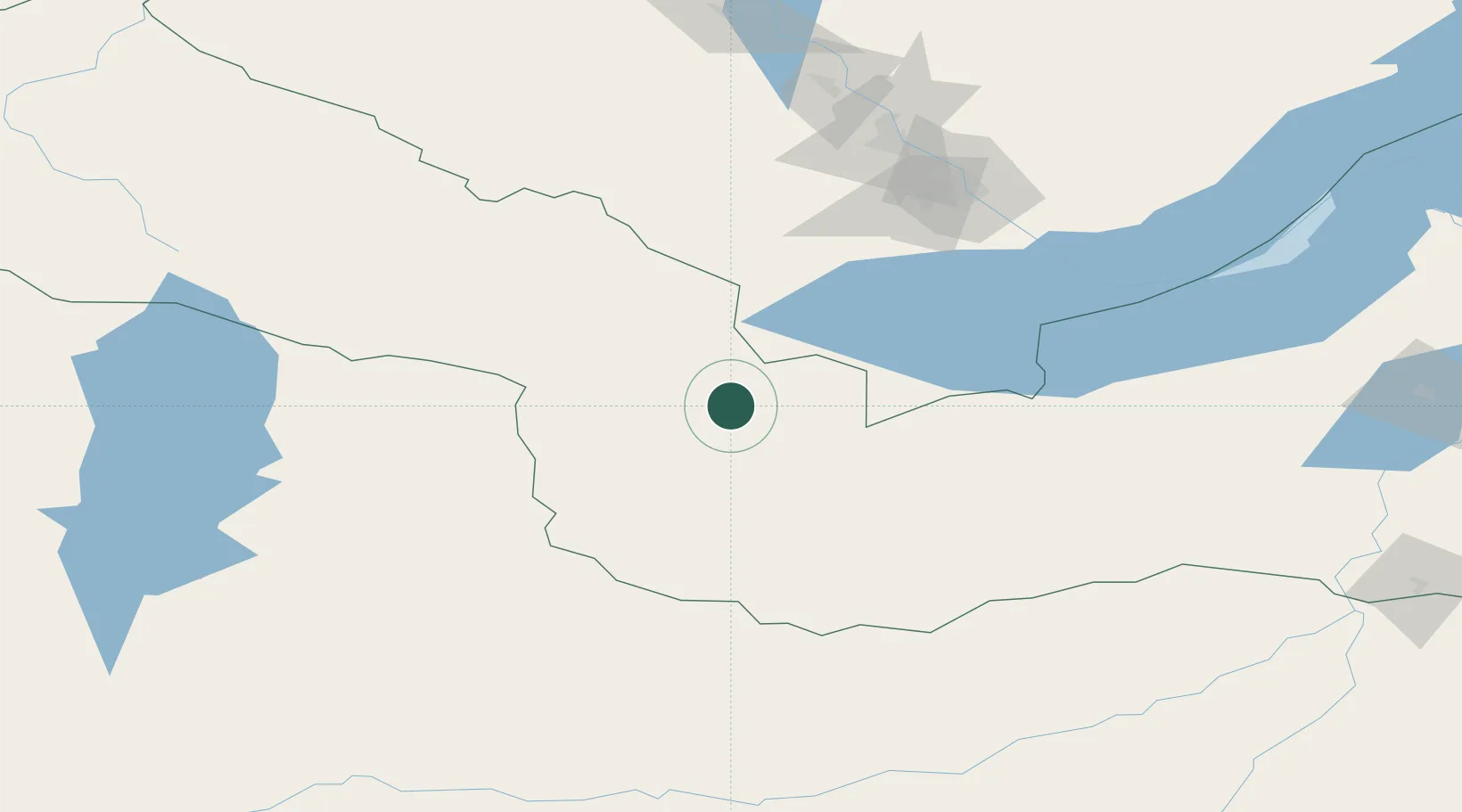
Location
Nearby Logistics Neighbours
Cities
- 1Haynrode32 km
- 2Keulrod103 km
- 3Irkutsk140 km
- 4Angarsk153 km
- 5Teluk Rubiah239 km
Ports
- 1Tianjin Xin Gang1778 km
- 2Qinhuangdao1786 km
- 3Huludao Gang1799 km
- 4Jinzhou Wan1802 km
- 5Tangshan (Jingtang)1818 km
Airports
- 1Irkutsk International Airport143 km
- 2Irkutsk Northwest Airport144 km
- 3Dzhida Air Base217 km
- 4Bulgan Airport265 km
- 5Mörön Airport279 km
Trade Zones
DatabookThe Record of Consolidated Knowledge
Germany beyond logistics?