Transport Functions
Port
Road
Hub Profile
Region
08
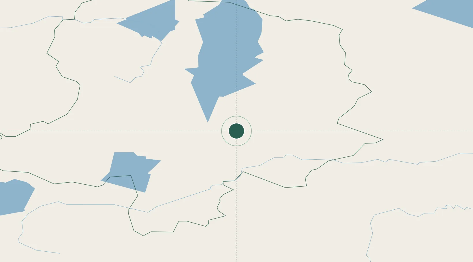
Location
Nearby Logistics Neighbours
Cities
- 1Grande Pointe229 km
- 2Ammern239 km
- 3Höchstädt an der Donau260 km
- 4Keulrod266 km
- 5Haynrode271 km
Ports
- 1Tianjin Xin Gang1816 km
- 2Qinhuangdao1849 km
- 3Tangshan (Jingtang)1868 km
- 4Huludao Gang1880 km
- 5Jinzhou Wan1884 km
Airports
- 1Mörön Airport41 km
- 2Bulgan Airport233 km
- 3Irkutsk Northwest Airport377 km
- 4Irkutsk International Airport379 km
- 5Donoi Airport381 km
Trade Zones
DatabookThe Record of Consolidated Knowledge
Malaysia beyond logistics?