Large airport · Mongolia

Buyant-Ukhaa International AirportZMUB
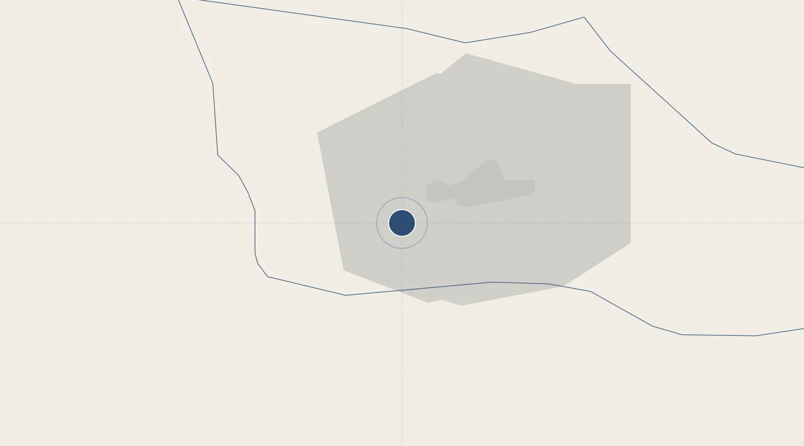
47.8431°, 106.7670°
10,170 ft
Longest runway
2
Runways
4,364 ft
Elevation

Runway & Layout

Buyant-Ukhaa International Airport runway & taxiway layout
Runway & taxiway layout — OpenStreetMap (ODbL) / OurAirports

Radio Frequencies

ATIS
125 MHz
TWR
120 MHz
GROUND
126 MHz
APP
120 MHz
ULAANBAATAR APP
OurAirports

Navaids

DA NDB Ulaanbaatar 315 kHz
UDA VOR-DME Ulaanbaatar 116.00 MHz
OurAirports

Runways · 2

RunwayDimensions SurfaceTrue headingLit
14/32 10,170 × 197ft Asphalt 136°
15/33 6,560 × 131ft Graded earth 145°
OurAirports

Airport Specifications

IATA code
ULN
OurAirports
ICAO code
ZMUB
OurAirports
Airport class
Large airport
OurAirports
Scheduled service
No
OurAirports
Runway surface
Asphalt
OurAirports
Served city
Ulaanbaatar
OurAirports

Location

Location of ZMUB
Natural Earth 10m (public domain) · Ulaanbaatar · ZMUB · 47.84, 106.77GoogleOSMYandex

Nearby Logistics Neighbours

Airports
  1. 1Ulaanbaatar Chinggis Khaan International Airport22 km
  2. 2Mandalgobi Airport237 km
  3. 3Bulgan Airport268 km
  4. 4Shine Bulagin Hural Air Base277 km
  5. 5Dzhida Air Base318 km
Nearest neighbours — logibook spatial index (haversine) over the source coordinates
Cities
  1. 1Höchstädt an der Donau245 km
  2. 2Keulrod355 km
  3. 3Foremost388 km
  4. 4Adelschlag445 km
  5. 5Ammern458 km
Nearest neighbours — logibook spatial index (haversine) over the source coordinates
Ports
  1. 1Tianjin Xin Gang1329 km
  2. 2Qinhuangdao1351 km
  3. 3Tangshan (Jingtang)1375 km
  4. 4Huludao Gang1379 km
  5. 5Jinzhou Wan1383 km
Nearest neighbours — logibook spatial index (haversine) over the source coordinates
Trade Zones
  1. 1Altanbulag Special Economic Zone274 km
  2. 2Baikal Haven Touristic Zone445 km
  3. 3Baikal Gates Special Economic Zone450 km
  4. 4Ulanhot Economic and Technological Development Zone455 km
  5. 5Zamyn-Üüd Special Economic Zone607 km
Nearest neighbours — logibook spatial index (haversine) over the source coordinates
DatabookThe Record of Consolidated Knowledge
Mongolia beyond logistics?
Browse databook

All Sources

AirportsOurAirports
Public domain
Portsthe NGA World Port Index
Public domain (US gov)
LocationsUN/LOCODE
UN/LOCODE — free
Trade Zonesthe World Bank SEZ database
CC BY 4.0
Trade ZonesOpen Zone Map
CC BY
InfrastructureOpenStreetMap
ODbL 1.0
← Mongolia airports