Transport Functions
Multimodal
Hub Profile
Place type
Populated place
Region
Thuringia
Time zone
Europe/Berlin
Elevation
453 m
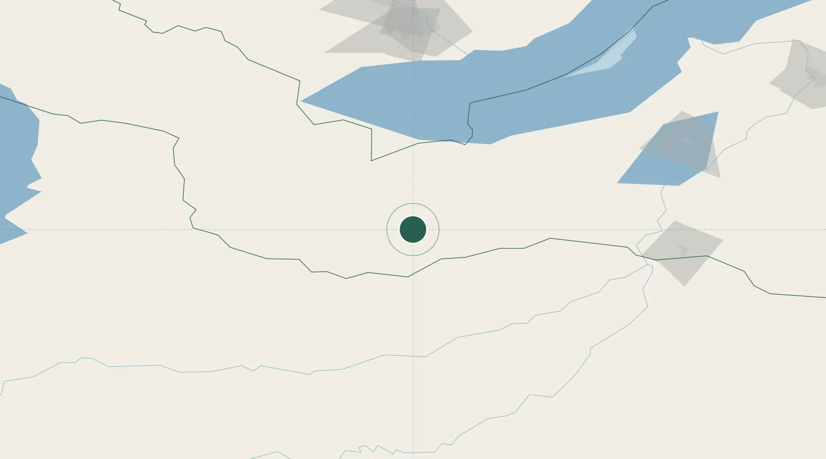
Location
Nearby Logistics Neighbours
Cities
- 1Ammern103 km
- 2Haynrode109 km
- 3Irkutsk191 km
- 4Höchstädt an der Donau220 km
- 5Angarsk221 km
Ports
- 1Tianjin Xin Gang1675 km
- 2Qinhuangdao1684 km
- 3Huludao Gang1699 km
- 4Jinzhou Wan1702 km
- 5Tangshan (Jingtang)1715 km
Airports
- 1Dzhida Air Base140 km
- 2Irkutsk International Airport192 km
- 3Bulgan Airport195 km
- 4Irkutsk Northwest Airport202 km
- 5Baikal International Airport268 km
Trade Zones
DatabookThe Record of Consolidated Knowledge
Germany beyond logistics?