Medium airport · Mongolia
Mörön AirportZMMN
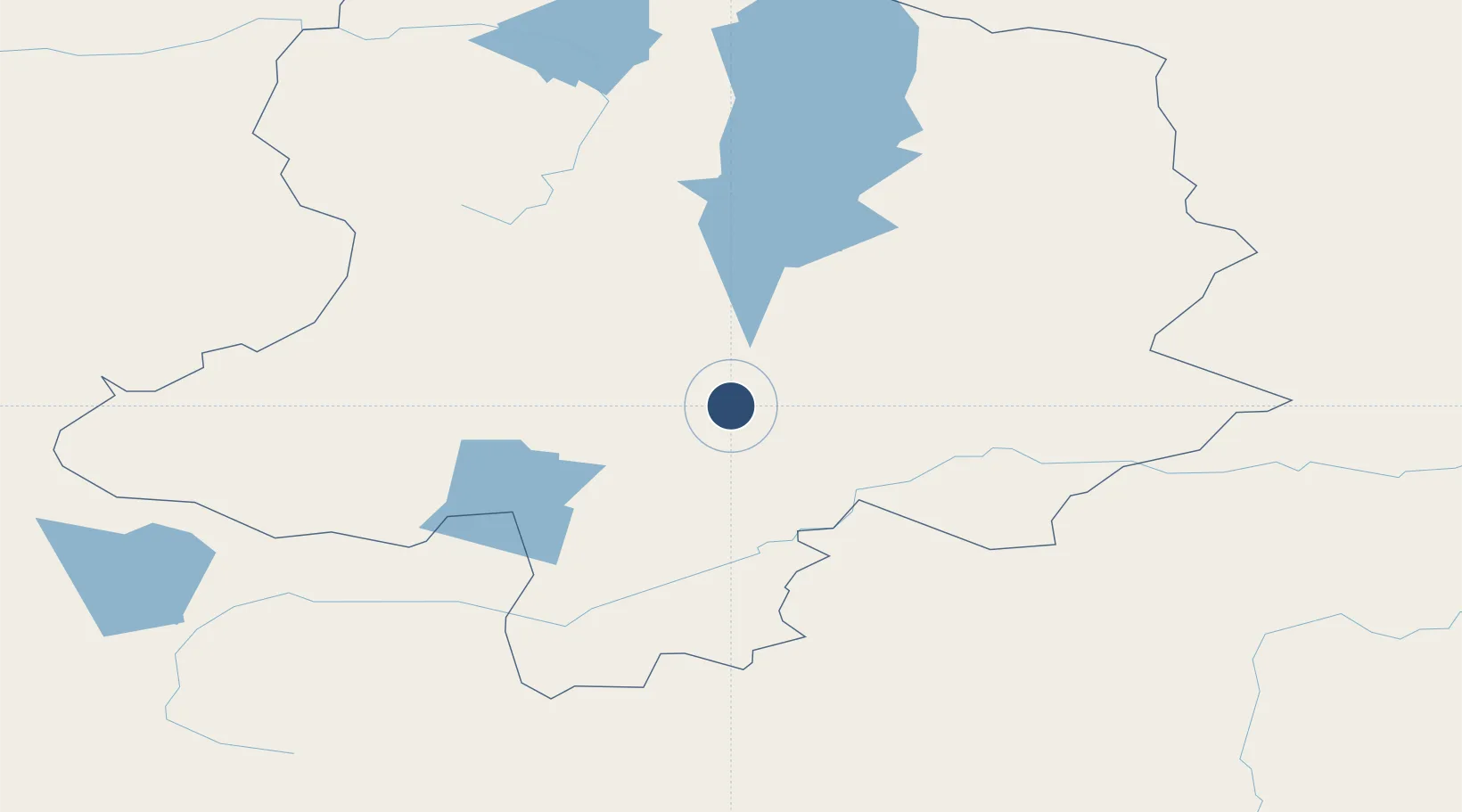
49.6637°, 100.1000°
8,005 ft
Longest runway
1
Runways
4,272 ft
Elevation
Runway & Layout

Radio Frequencies
APP
130 MHz
ACC
128 MHz
CON
RDO
571.5 MHz
Navaids
MU NDB Muren 570 kHz
Runways · 1
| Runway | Dimensions | Surface | True heading | Lit |
|---|---|---|---|---|
| 10/28 | 8,005 × 137ft | Asphalt | 102° | ✓ |
Airport Specifications
IATA code
MXV
ICAO code
ZMMN
Airport class
Medium airport
Scheduled service
Yes
Runway surface
Asphalt
Served city
Mörön
Location
Nearby Logistics Neighbours
Airports
- 1Bulgan Airport261 km
- 2Donoi Airport341 km
- 3Bayankhongor Airport392 km
- 4Irkutsk Northwest Airport415 km
- 5Irkutsk International Airport417 km
Cities
- 1Teluk Rubiah41 km
- 2Grande Pointe192 km
- 3Ammern279 km
- 4Höchstädt an der Donau285 km
- 5Keulrod306 km
Ports
- 1Tianjin Xin Gang1837 km
- 2Qinhuangdao1873 km
- 3Tangshan (Jingtang)1891 km
- 4Huludao Gang1907 km
- 5Jinzhou Wan1911 km
Trade Zones
DatabookThe Record of Consolidated Knowledge
Mongolia beyond logistics?