UN/LOCODE hub · Russia
RUIKT

Irkutsk

52.2667°, 104.3242°
623,869
Population
2
Transport functions

Transport Functions

Rail
Airport
UN/LOCODE

Hub Profile

Place type
Regional capital
GeoNames
Region
Irkutsk Oblast
GeoNames
Population
623,869
GeoNames
Time zone
Asia/Irkutsk
GeoNames
Elevation
415 m
GeoNames
Logistics facilities
3
UN/LOCODE

Location

Location of RUIKT
Natural Earth 10m (public domain) · Irkutsk Oblast · RUIKT · 52.27, 104.32GoogleOSMYandex

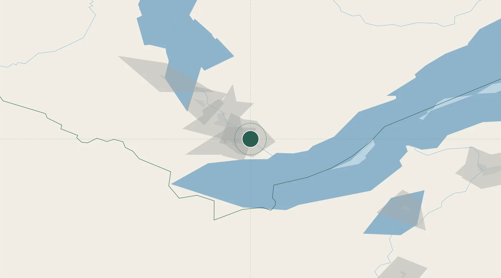
Nearby Logistics Neighbours

Cities
  1. 1Angarsk42 km
  2. 2Haynrode109 km
  3. 3Ammern140 km
  4. 4Keulrod191 km
  5. 5Badersleben350 km
Nearest neighbours — logibook spatial index (haversine) over the source coordinates
Ports
  1. 1Qinhuangdao1801 km
  2. 2Huludao Gang1803 km
  3. 3Jinzhou Wan1805 km
  4. 4Tianjin Xin Gang1808 km
  5. 5Tangshan (Jingtang)1840 km
Nearest neighbours — logibook spatial index (haversine) over the source coordinates
Airports
  1. 1Irkutsk International Airport5 km
  2. 2Irkutsk Northwest Airport15 km
  3. 3Dzhida Air Base217 km
  4. 4Baikal International Airport219 km
  5. 5Khuzhir Airport233 km
Nearest neighbours — logibook spatial index (haversine) over the source coordinates
Trade Zones
  1. 1Baikal Gates Special Economic Zone84 km
  2. 2Baikal Haven Touristic Zone230 km
  3. 3Altanbulag Special Economic Zone265 km
  4. 4Ulanhot Economic and Technological Development Zone894 km
  5. 5Manzhouli Industrial Park968 km
Nearest neighbours — logibook spatial index (haversine) over the source coordinates
DatabookThe Record of Consolidated Knowledge
Russia beyond logistics?
Browse databook

All Sources

LocationsUN/LOCODE
UN/LOCODE — free
LocationsGeoNames
CC BY 4.0
Portsthe NGA World Port Index
Public domain (US gov)
AirportsOurAirports
Public domain
Trade Zonesthe World Bank SEZ database
CC BY 4.0
Trade ZonesOpen Zone Map
CC BY
← Russia locations