Large airport · Mongolia
Ulaanbaatar Chinggis Khaan International AirportZMCK
47.6469°, 106.8198°
11,811 ft
Longest runway
1
Runways
4,482 ft
Elevation
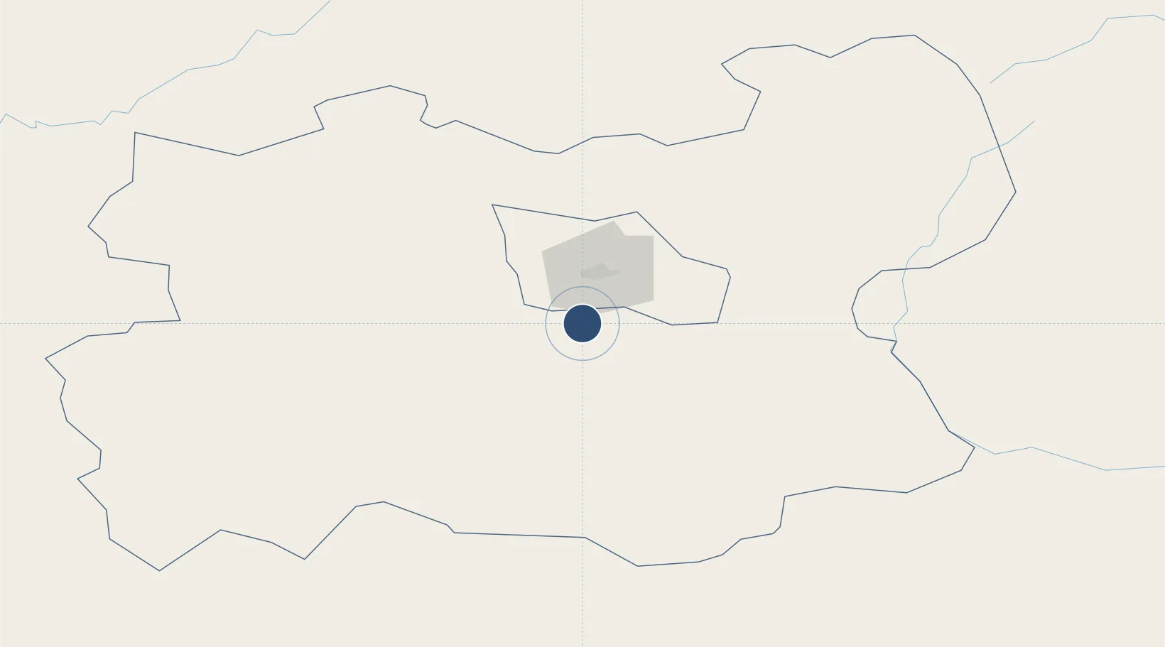
Runway & Layout

Radio Frequencies
ATIS
123.7 MHz
TWR
129 MHz
CONTROL TOWER
APP
120 MHz
Runways · 1
| Runway | Dimensions | Surface | True heading | Lit |
|---|---|---|---|---|
| 11/29 | 11,811 × 148ft | Asphalt | 105° | ✓ |
Airport Specifications
IATA code
UBN
ICAO code
ZMCK
Airport class
Large airport
Scheduled service
Yes
Runway surface
Asphalt
Served city
Ulaanbaatar (Sergelen)
Location
Nearby Logistics Neighbours
Airports
- 1Buyant-Ukhaa International Airport22 km
- 2Mandalgobi Airport216 km
- 3Shine Bulagin Hural Air Base258 km
- 4Bulgan Airport282 km
- 5Dzhida Air Base341 km
Cities
- 1Höchstädt an der Donau257 km
- 2Keulrod376 km
- 3Foremost396 km
- 4Adelschlag451 km
- 5Ammern478 km
Ports
- 1Tianjin Xin Gang1311 km
- 2Qinhuangdao1335 km
- 3Tangshan (Jingtang)1358 km
- 4Huludao Gang1365 km
- 5Jinzhou Wan1369 km
Trade Zones
DatabookThe Record of Consolidated Knowledge
Mongolia beyond logistics?