UN/LOCODE hub · Germany
DEHYR

Haynrode

51.4333°, 103.5000°
751
Population
1
Transport functions

Transport Functions

Multimodal
UN/LOCODE

Hub Profile

Place type
Local administrative seat
GeoNames
Region
Thuringia
GeoNames
Population
751
GeoNames
Time zone
Europe/Berlin
GeoNames
Elevation
341 m
GeoNames

Location

Location of DEHYR
Natural Earth 10m (public domain) · Thuringia · DEHYR · 51.43, 103.50GoogleOSMYandex

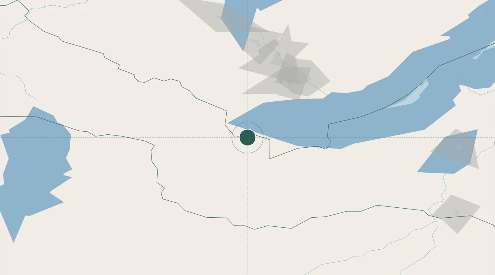
Nearby Logistics Neighbours

Cities
  1. 1Ammern32 km
  2. 2Irkutsk109 km
  3. 3Keulrod109 km
  4. 4Angarsk125 km
  5. 5Teluk Rubiah271 km
Nearest neighbours — logibook spatial index (haversine) over the source coordinates
Ports
  1. 1Tianjin Xin Gang1778 km
  2. 2Qinhuangdao1782 km
  3. 3Huludao Gang1793 km
  4. 4Jinzhou Wan1795 km
  5. 5Tangshan (Jingtang)1815 km
Nearest neighbours — logibook spatial index (haversine) over the source coordinates
Airports
  1. 1Irkutsk International Airport111 km
  2. 2Irkutsk Northwest Airport114 km
  3. 3Dzhida Air Base203 km
  4. 4Baikal International Airport275 km
  5. 5Bulgan Airport287 km
Nearest neighbours — logibook spatial index (haversine) over the source coordinates
Trade Zones
  1. 1Baikal Gates Special Economic Zone45 km
  2. 2Altanbulag Special Economic Zone244 km
  3. 3Baikal Haven Touristic Zone286 km
  4. 4Ulanhot Economic and Technological Development Zone871 km
  5. 5Ceke Port Economic Development Zone998 km
Nearest neighbours — logibook spatial index (haversine) over the source coordinates
DatabookThe Record of Consolidated Knowledge
Germany beyond logistics?
Browse databook

All Sources

LocationsUN/LOCODE
UN/LOCODE — free
LocationsGeoNames
CC BY 4.0
Portsthe NGA World Port Index
Public domain (US gov)
AirportsOurAirports
Public domain
Trade Zonesthe World Bank SEZ database
CC BY 4.0
Trade ZonesOpen Zone Map
CC BY
← Germany locations