UN/LOCODE hub · Germany
DEAQG

Affing

48.4667°, 10.9833°
5,171
Population
1
Transport functions

Transport Functions

Multimodal
UN/LOCODE

Hub Profile

Place type
Local administrative seat
GeoNames
Region
Bavaria
GeoNames
Population
5,171
GeoNames
Time zone
Europe/Berlin
GeoNames
Elevation
476 m
GeoNames

Location

Location of DEAQG
Natural Earth 10m (public domain) · Bavaria · DEAQG · 48.47, 10.98GoogleOSMYandex

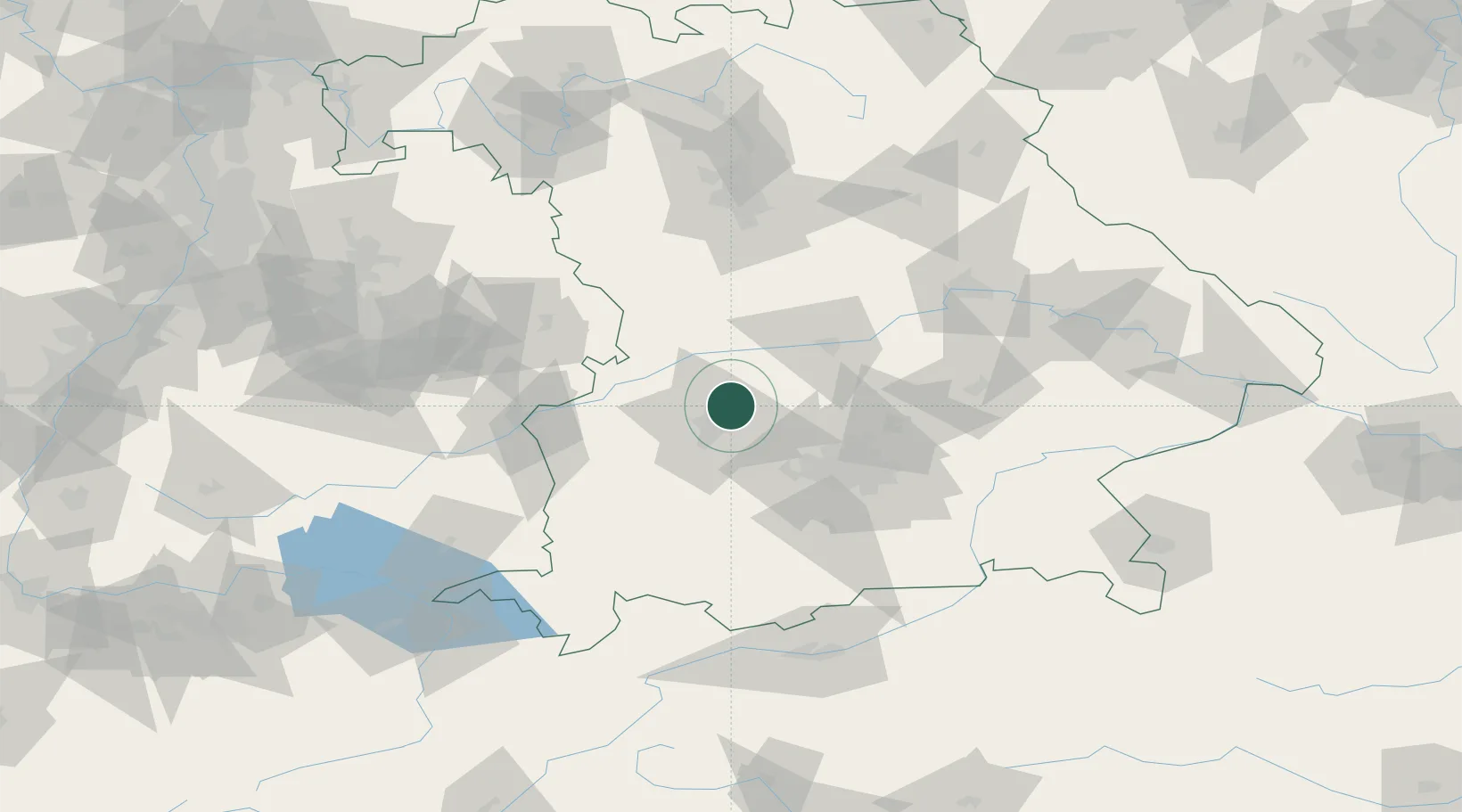
Nearby Logistics Neighbours

Cities
  1. 1Hollenbach6 km
  2. 2Todtenweis7 km
  3. 3Algertshausen10 km
  4. 4Langweid10 km
  5. 5Friedberg11 km
Nearest neighbours — logibook spatial index (haversine) over the source coordinates
Ports
  1. 1Nogaro343 km
  2. 2Grado354 km
  3. 3Monfalcone356 km
  4. 4Porto Di Lido-Venezia357 km
  5. 5Porto Di Chioggia373 km
Nearest neighbours — logibook spatial index (haversine) over the source coordinates
Airports
  1. 1Augsburg Airport6 km
  2. 2Altstetten Ultralight Field29 km
  3. 3Neuburg Air Base32 km
  4. 4Lechfeld Air Base33 km
  5. 5Oberpfaffenhofen Airport48 km
Nearest neighbours — logibook spatial index (haversine) over the source coordinates
Trade Zones
  1. 1Freeport of Deggendorf147 km
  2. 2Livigno Free Trade Zone225 km
  3. 3ZFU Neuhof237 km
  4. 4ZFU Hautepierre243 km
  5. 5Podbořany Industrial Zone263 km
Nearest neighbours — logibook spatial index (haversine) over the source coordinates
DatabookThe Record of Consolidated Knowledge
Germany beyond logistics?
Browse databook

All Sources

LocationsUN/LOCODE
UN/LOCODE — free
LocationsGeoNames
CC BY 4.0
Portsthe NGA World Port Index
Public domain (US gov)
AirportsOurAirports
Public domain
Trade Zonesthe World Bank SEZ database
CC BY 4.0
Trade ZonesOpen Zone Map
CC BY
← Germany locations