Transport Functions
Rail
Road
Hub Profile
Place type
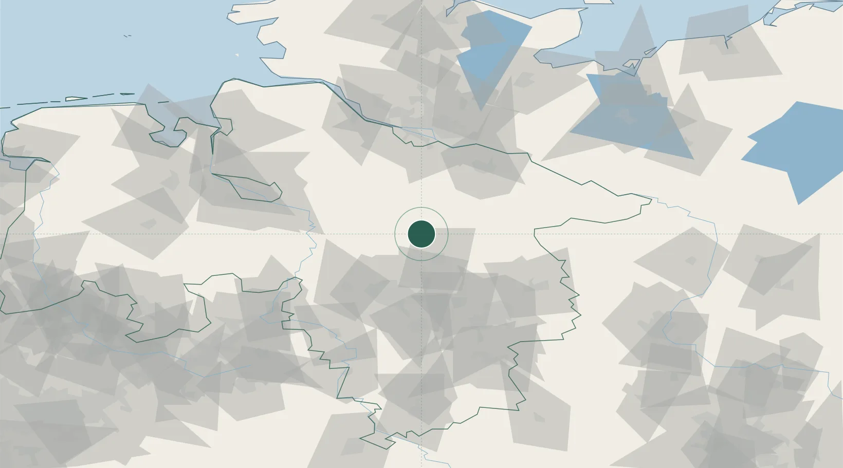
Populated place
Region
Lower Saxony
Population
13,609
Time zone
Europe/Berlin
Elevation
70 m
Location
Nearby Logistics Neighbours
Cities
- 1Bockholdt14 km
- 2Wietze19 km
- 3Bad Fallingbostel19 km
- 4Munster22 km
- 5Celle22 km
Ports
- 1Hamburg83 km
- 2Bremen89 km
- 3Butzfleth99 km
- 4Elsfleth111 km
- 5Gluckstadt115 km
Airports
- 1Faßberg Air Base20 km
- 2Celle Army Airfield24 km
- 3Hannover Airport42 km
- 4Wunstorf Air Base53 km
- 5Braunschweig-Wolfsburg Airport67 km
Trade Zones
DatabookThe Record of Consolidated Knowledge
Germany beyond logistics?