Transport Functions
Multimodal
Hub Profile
Place type
Local administrative seat
Region
Lower Saxony
Population
8,216
Time zone
Europe/Berlin
Elevation
34 m
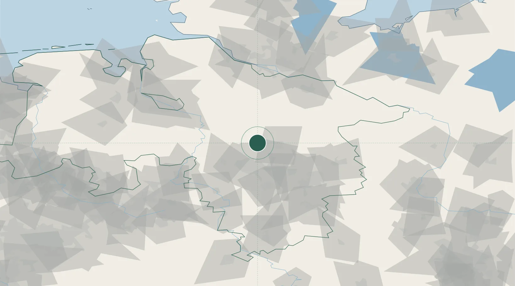
Location
Nearby Logistics Neighbours
Cities
- 1Celle17 km
- 2Bergen19 km
- 3Hainhaus19 km
- 4Langenhagen23 km
- 5Ahlden23 km
Airports
- 1Celle Army Airfield14 km
- 2Hannover Airport23 km
- 3Wunstorf Air Base35 km
- 4Faßberg Air Base38 km
- 5Braunschweig-Wolfsburg Airport61 km
Trade Zones
DatabookThe Record of Consolidated Knowledge
Germany beyond logistics?